What is recorded here
Stone Circle in County Leitrim was a megalithic passage with two chambers and a wide cairn, but human hands removed it before 1944. It sat at the bottom of a north-facing slope beside a farmyard, exposing a west entrance and jambs that divided the inner space. The stones protruded barely forty centimetres from the ground, suggesting a low, crowded chamber rather than a proud monument. Whatever life moved through it has left no visible trace, only the memory of a circle drawn across ordinary farmland.
Situated at the bottom of a N-facing slope adjacent to a farmyard. What is depicted as two rows of stones running E-W (L c. 15m) on the OS 25-inch map is described as a ‘Stone Circle’ on that map and on the 1907 edition of the 6-inch map. It had been removed before 1944 and was described to Oliver Davies (SMR file) as a passage defined by two lines of stones protruding c. 0.4m from the ground. It had an entrance at W and was divided into two chambers separated by jamb-stones with cairn material (diam. c. 12m) around it but there were no kerbstones delimiting the cairn. It may have been a court tomb but no archaeological feature is visible now at ground level.
The above description is derived from 'The Archaeological Inventory of County Leitrim' compiled by Michael J. Moore (Dublin: Stationery Office, 2003). In certain instances the entries have been revised and updated in the light of recent research.
Compiled by: Michael Moore
Date of revised upload: 14 October 2019
The monument record does not grant public access. Check the route and ask the landowner before entering private land.
- What survives
- Recorded monument
Places near here
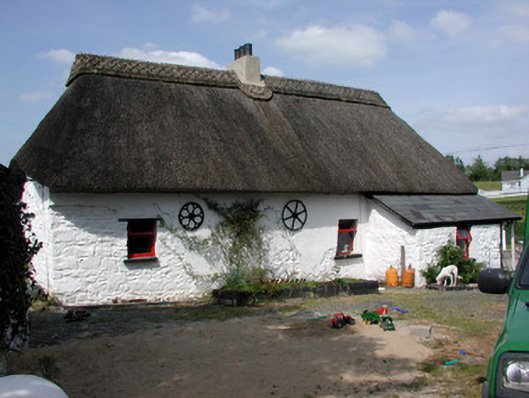 Homelyfarm house · 856 yd
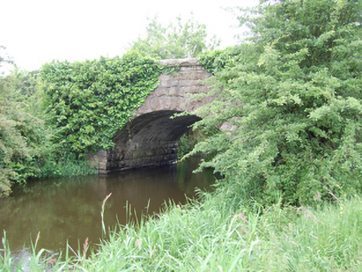 Kilbrackan Bridgebridge · 1359 yd
 DrumbreanlisMountain / peak · 1.3 mi
 CorlisbrattanMountain / peak · 1.4 mi
 Drumergoole WoodForest · 1.5 mi
 Common LimeCommon Lime · 1.6 mi
 St. Patricks WellHoly well · 1.7 mi
 IndicatedEnclosure, large enclosure · 1.8 mi
 King's GraveArchaeological place · 2.0 mi
 Killeshandra Irish Countrywomen's Association 70th AnniversaryMemorial · 4.0 mi
 Bawn in CastlepolesBawn · 4.6 mi
 Inch IslandIslet · 5.1 mi