
What is recorded here
Indicated is a circular grass fort on an east-facing slope in County Meath, facing another rath across a shallow col. Its earthen bank still stands beside a stone road wall, while a narrow northeast gap preserves the shape of an entrance. The two forts may have watched the same valley, but distance and time have erased the hands that built them.
Situated at the crest of an E-facing slope overlooking a col with equally high ground c. 250m to the E where rath (ME05-013----) is situated but there is lower ground to the NE and SE. This is a circular grass-covered area (diam. 38.8m NE-SW; 36.8m NW-SE) defined by an earthen bank (Wth of base 2.1m; int. H 0.4m; ext. H 1.2m) planted with trees NE-S-SW, with slight traces of a fosse NE-SE. The perimeter is provided by a stone road wall SW-W-NE, which also provides an outer face for the bank all around. A gap at NE (Wth 1.3m) could be the original entrance.
The above description is derived from the published 'Archaeological Inventory of County Meath' (Dublin: Stationery Office, 1987). In certain instances the entries have been revised and updated in the light of recent research.
Compiled by: Michael Moore
Date of revision: 3 September 2018
The monument record does not grant public access. Check the route and ask the landowner before entering private land.
- What survives
- Recorded monument
Places near here
 Fairy fort / earthen ringfort in KilmainhamwoodFairy fort / earthen ringfort · 1263 yd
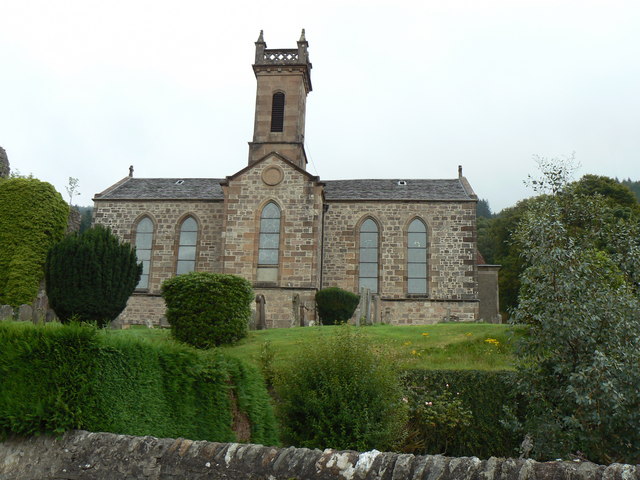 Site of Kilmainhamwood Parish ChurchArchaeological place · 1604 yd
 Miltown GlenWood · 1757 yd
 presbytery/parochial/curate's housepresbytery/parochial/curate's house · 1.0 mi
 Catholic Church of the Sacred Heartchurch/chapel · 1.0 mi
 GNR Christmas TreesForest · 1.9 mi
 Castkecome RuinsCastle, unclassified · 2.2 mi
 UghtyneillMountain / peak · 2.9 mi
 Gallows HillMountain / peak · 3.5 mi
 Castle in ruinsCastle, unclassified · 3.6 mi
 Fair of MuffMemorial · 3.7 mi
 Nobber GreenwayMemorial · 4.2 mi
Other information
Photo: Credit not shown in the picture search · Rights wording not checked; contact us if this picture should be removed