
What is recorded here
Teac Alluis was a sweathouse on the lower SE slopes of Slievestucan in County Louth, Ireland. Its outer walls used very large stones while sticks and sods formed the roof. The structure had collapsed before a 1966-7 field survey, leaving behind a lost place where people may have sat together in warmth, steam and shadow.
Marked on the 1938-9 ed. of the 'OS 6-inch' map as 'Teac Alluis'. Situated on the lower SE slopes of Slievestucan. When visited during field survey (1966-7) it had collapsed (SMR file). According to School Manuscripts 'the outer walls were built with very large stones and the roof was made of sticks and sods' (Irish Folklore Commission Schools' Manuscripts 660, 73).
Compiled by: Claire Breen
Date of upload: 6 March 2012
Linked to Saint Alluis, a lesser-known early Irish saint, the site may have been associated with healing traditions, as many holy wells were believed to possess curative properties. The name "Teac Alluis" suggests a well or spring dedicated to the saint, though specific cures or folklore connected to this site are not well documented.
The monument record does not grant public access. Check the route and ask the landowner before entering private land.
- What survives
- Recorded monument
Places near here
 Enclosure in Mullaghattin (dundalk Lwr By; Ballymascanlan Par.)Enclosure · 1063 yd
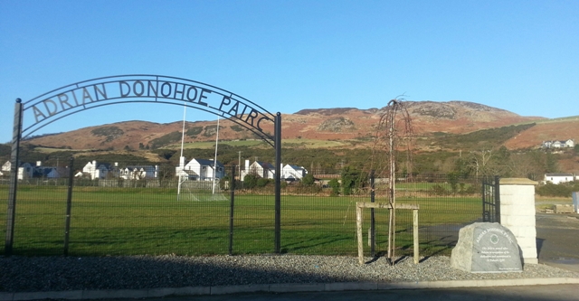 Enclosure in SlievenagloghEnclosure · 1586 yd
 Annaloughan MountainMountain / peak · 1.2 mi
 SlievenagloghMountain / peak · 1.3 mi
 Cooley MountainsMountain range · 1.5 mi
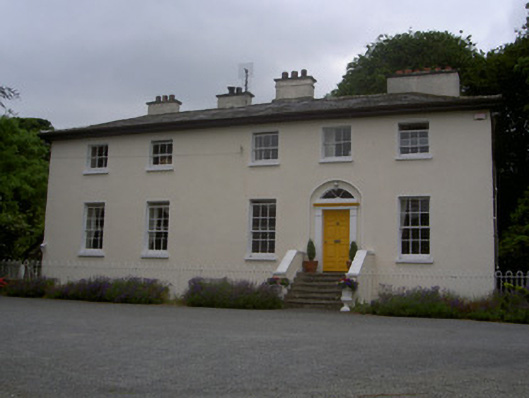 The Old Rectoryrectory/glebe/vicarage/curate's house · 1.8 mi
 R.C. ChapelChurch · 1.9 mi
 Long Woman's GraveArchaeological place · 2.1 mi
 IndicatedBawn · 2.1 mi
 Cooley CastleCastle, tower house · 2.5 mi
 Carlingford - Slieve Foye LoopWalking route · 2.7 mi
 Carlingford - Loop 1A- Commons LoopWalking route · 2.9 mi
Other information
Photo: Credit not shown in the picture search · Rights wording not checked; contact us if this picture should be removed