What is recorded here
Aghaglass still keeps a circular scar at its western edge, visible only when rain strips the grass or memory fills the gap. The Fort of Glass may have been a human hold, a fairy trap, or a border marker for sight rather than flesh. In a county where maps argue and fields change names, the circle remains the steady part. People drew lines around it, but the land drew the line first.
An earthwork enclosure is depicted on McCrea’s map of Co. Monaghan (1793) at the W edge of Aghaglass townland, but its precise character or location is not known.
Date of upload: 14 April 2011
The monument record does not grant public access. Check the route and ask the landowner before entering private land.
- What survives
- Recorded monument
Places near here
 Enclosure in DrumirrilEnclosure · 701 yd
 Field system in DrumirrilField system · 725 yd
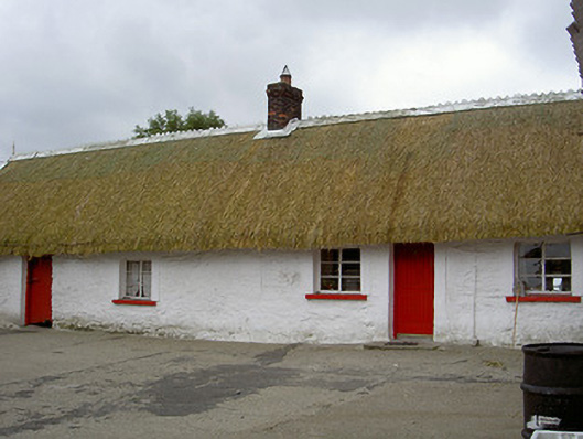 The Thatchhouse · 1604 yd
 Church in ChanonrockChurch · 1712 yd
 CastleCastle, motte and bailey · 1.6 mi
 MoatCastle, motte · 2.1 mi
:no_upscale()/cdn.vox-cdn.com/uploads/chorus_asset/file/25593391/County_Louth_6th.jpg) LouthMountain / peak · 2.6 mi
LouthMountain / peak · 2.6 mi Long PlantationForest · 5.1 mi
 Flat cemetery in AnnaheanFlat cemetery · 5.2 mi
 Sky HillMountain / peak · 6.6 mi
 Photo GalleryHeritage attraction · 6.6 mi
 Dundalk CentralHeritage attraction · 6.6 mi