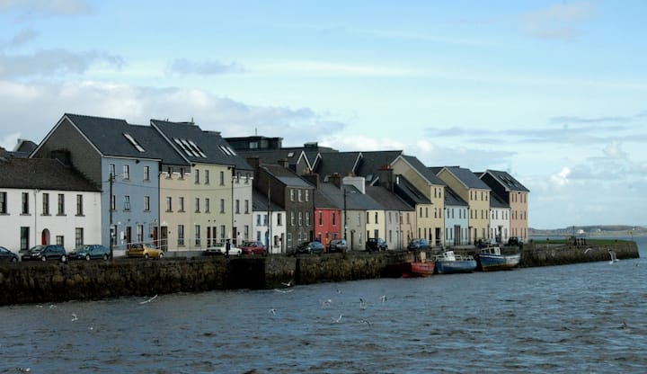
What is recorded here
Lisnabitteen was a subcircular ringfort in flat Galway grassland, broad enough for houses and narrow enough to force every resident into daily contact. A field boundary later cut through its heart, erasing the shape that once defined the neighbourhood. The fort disappeared beneath ordinary farming, yet it still measures the distance between human ambition and forgetting.
In flat grassland. Marked on the OS 6-inch maps as a subcircular enclosure (c. 40m N-S; c. 35m E-W). A field boundary cut through the monument from N to SSW. No visible surface trace survives.
Compiled by: Galway Archaeological Survey, UCG
Date of upload: 8 February 2019
The monument record does not grant public access. Check the route and ask the landowner before entering private land.
- What survives
- Recorded monument
Places near here
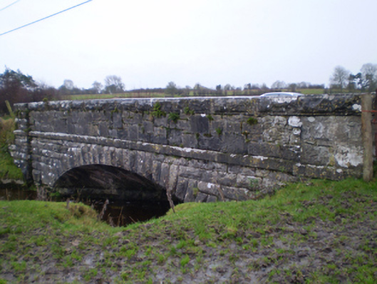 bridgebridge · 458 yd
 Colgans FortFairy fort / earthen ringfort · 1038 yd
 Quarry in BallyturickQuarry · 1378 yd
 MoatCastle, motte and bailey · 1.0 mi
 Enclosure in CoxtownEnclosure · 1.1 mi
 Bawn in Cooltymurraghy (clonmacnowen By.)Bawn · 2.1 mi
 European YewEuropean Yew · 2.7 mi
 European BeechEuropean Beech · 3.0 mi
 The bloody HollowHeritage attraction · 4.8 mi
 Battle of AughrimMajor battlefield · 4.9 mi
 Urraghry HillMountain / peak · 5.3 mi
 Battle of Aughrim Interpretative CentreMuseum · 5.5 mi
Other information
Photo: Credit not shown in the picture search · Rights wording not checked; contact us if this picture should be removed