
What is recorded here
Marked as a lime-kiln on the 1839 ed. of the OS 6-inch map and as a hachured feature on the 1925 ed. It is situated on a fairly level, low-lying landscape with a NE-SW stream in its valley just 20m to the SE. This is a surviving D-shaped and grass-covered portion of the mound of the lime-kiln (dims. of base 16.5m NE-SW; 10m NW-SE; dims of top 7m NE-SW; 1.3m NW-SE: H 1.3-2m), but it is not an antiquity.
Compiled by: Michael Moore
Date of upload: 27 August, 2012
The monument record does not grant public access. Check the route and ask the landowner before entering private land.
- What survives
- Recorded monument
Places near here
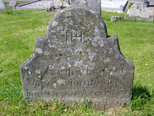 graveyard/cemeterygraveyard/cemetery · 952 yd
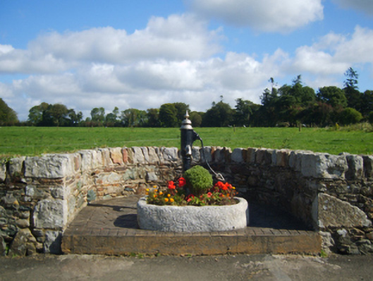 water pumpwater pump · 952 yd
 Stone CrossCross, High cross · 962 yd
 Glenour MonumentMemorial · 1203 yd
 Camaross HillMountain / peak · 1405 yd
 ToberbaunHoly well · 1529 yd
 Castle (in ruins)Castle, tower house · 1590 yd
 (Site of) Doonoonen CastleCastle, motte · 1.0 mi
 Carrickmastia HillMountain / peak · 2.3 mi
 Dick Joynt MemorialMemorial · 5.1 mi
 Coolcliffe HouseRuins · 6.7 mi
 Tinnakeenly BogForest · 18 mi
Other information
Photo: Credit not shown in the picture search · Rights wording not checked; contact us if this picture should be removed