What is recorded here
The official Northern Ireland record identifies this as A.P. SITE: CLEAR CHANNEL. Recorded period: UNCERTAIN. The official map point was placed at the centre of the recorded archaeological site from the source map reference.
The monument record does not grant public access. Check the route and ask the landowner before entering private land.
- What survives
- Recorded monument
Places near here
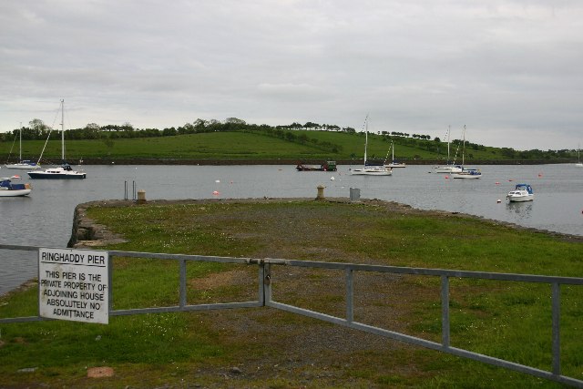 STONE QUAY in RinghaddySTONE QUAY · 1114 yd
 TOWER-HOUSE: RINGHADDY CASTLE in RinghaddyTOWER-HOUSE: RINGHADDY CASTLE · 1204 yd
 ARCHAEOLOGICALLY SENSITIVE AREA AROUND THE CASTLE in RingdufferinARCHAEOLOGICALLY SENSITIVE AREA AROUND THE CASTLE · 1657 yd
 CHURCH (in ruins) in RathgormanCHURCH (in ruins) · 1.2 mi
 Long PointHeadland · 1.4 mi
 Conly IslandIslet · 1.9 mi
 STONE QUAY in BallymorranSTONE QUAY · 2.0 mi
 Island TaggartIslet · 2.2 mi
 CHURCH & GRAVEYARD & COFFIN LIDS (2): ARDKEEN CHURCH in ArdkeenCHURCH & GRAVEYARD & COFFIN LIDS (2): ARDKEEN CHURCH · 3.1 mi
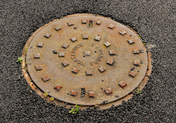 ShrigleyVisitor information · 3.1 mi
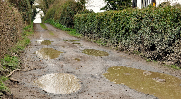 Net Walk & Shore LoneyWalking route · 3.1 mi
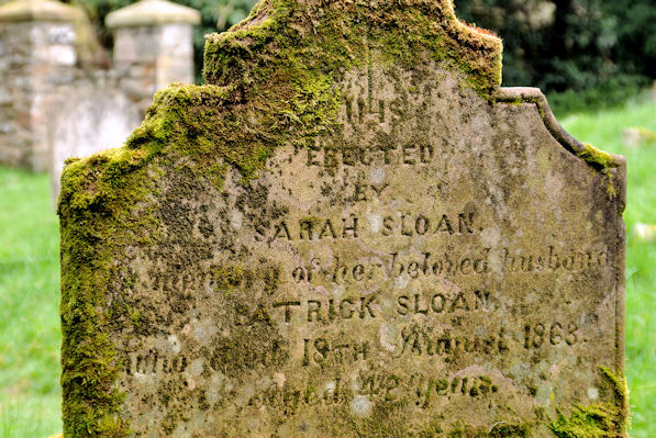 KILLOWEN MEDIEVAL CHURCH (ruined) and GRAVEYARD; with 2 CROSS-CARVED STONES in Corporation (killyleagh)KILLOWEN MEDIEVAL CHURCH (ruined) and GRAVEYARD; with 2 CROSS-CARVED STONES · 3.3 mi