What is recorded here
Yes. That is the distinction. I misread the claim and built the wrong answer. Use the correct claim and ask for the visible result you actually want.
The official Northern Ireland wreck record identifies Recorded wreck SWR283 as WW2 RN/RAF tender?. It was lost in Unknown. Recorded depth: 0-1m. Recorded condition: Scattered metal wreckage visible at LW.
Recorded wreck SWR283 is identified as a World War II Royal Navy/Royal Air Force tender, lost in unknown circumstances, likely in shallow coastal waters where scattered metal wreckage remains visible at low tide. Its significance lies in contributing to the understanding of military logistics and wartime activity in Northern Ireland.
A wreck point does not grant access or permission to dive, enter land, disturb the site or recover anything. Check current law and local conditions first.
Places near here
 ENCLOSURE in CulmoreENCLOSURE · 433 yd
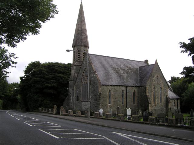 CHURCH in CulmoreCHURCH · 1482 yd
 A.P. SITEA.P. SITE, 3 circular enclosures within large oval enclosure · 1495 yd
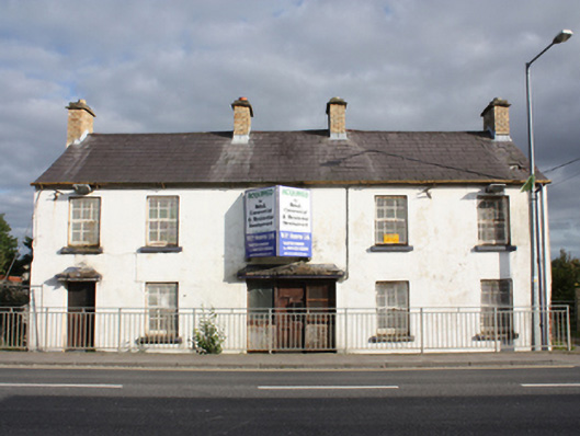 Muff Garda Síochána StationRIC barracks · 1.2 mi
 CHURCH & GRAVEYARD: ENAGH or DOMNACH DOLA in TempletownCHURCH & GRAVEYARD: ENAGH or DOMNACH DOLA · 2.3 mi
 Muff ForestWoodland walk · 2.4 mi
 Eskaheen GraveyardGraveyard · 2.7 mi
 Siege of Derry Boom Stone"The Boom Stone" (Traditionally part of 17th century boom across the River Foyle during the Siege of Derry) · 2.8 mi
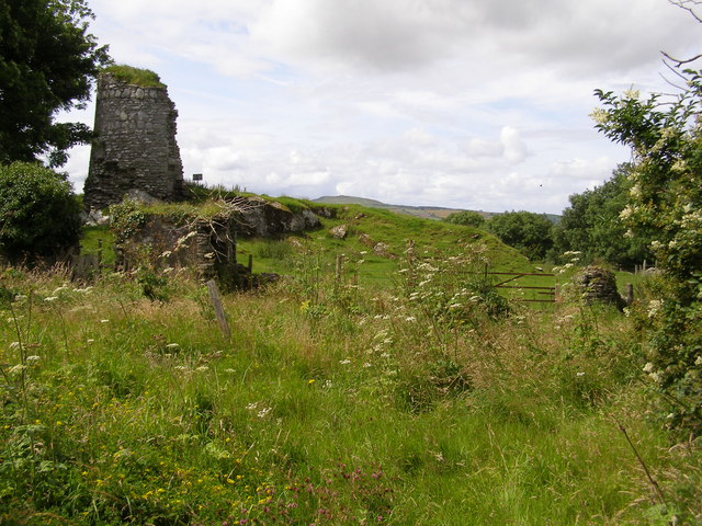 CASTLE & EARTHWORK ENCLOSURE: DOHERTY TOWER or CASTLE AILEACH in Elagh MoreCASTLE & EARTHWORK ENCLOSURE: DOHERTY TOWER or CASTLE AILEACH · 3.9 mi
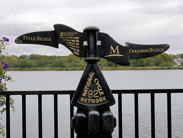 Millennium MilepostVisitor information · 4.5 mi
 Tower MuseumMuseum · 4.7 mi
 TOWER-HOUSE: O'DOHERTY'S CASTLE or THE MAGAZINE in Derry; LondonderryTOWER-HOUSE: O'DOHERTY'S CASTLE or THE MAGAZINE · 4.7 mi