What is recorded here
Recorded wreck SWR366 lies off County Down, Ireland, preserved in the official Northern Ireland wreck record as a non-dangerous loss. The sea took the vessel without marking the event on any human timeline, leaving behind a shape that water has already softened. What remains is not a trap but a shadow, waiting for someone to imagine the life that disappeared into it.
The official Northern Ireland wreck record identifies Recorded wreck SWR366 as a wreck. It was lost in Unknown. Recorded condition: Non-dangerous wreck.
A wreck point does not grant access or permission to dive, enter land, disturb the site or recover anything. Check current law and local conditions first.
Places near here
 Island TaggartIslet · 862 yd
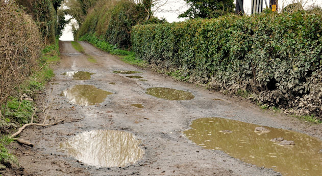 Net Walk & Shore LoneyWalking route · 1080 yd
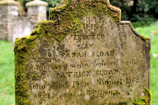 KILLOWEN MEDIEVAL CHURCH (ruined) and GRAVEYARD; with 2 CROSS-CARVED STONES in Corporation (killyleagh)KILLOWEN MEDIEVAL CHURCH (ruined) and GRAVEYARD; with 2 CROSS-CARVED STONES · 1117 yd
 ShrigleyVisitor information · 1166 yd
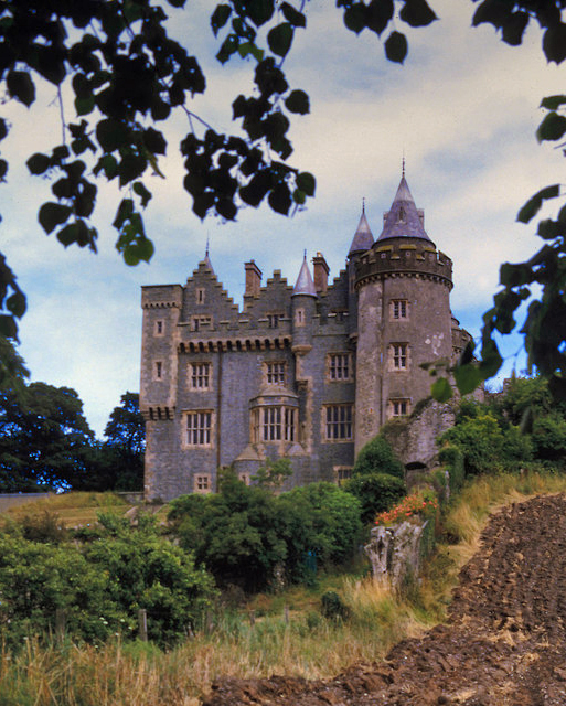 KILLYLEAGH CASTLEKILLYLEAGH CASTLE, multiperiod castle on site of Motte · 1417 yd
 Dufferin ArmsPublic House · 1486 yd
 Killyleagh Parish ChurchChurch · 1639 yd
 North PointHeadland · 1.1 mi
 Dunnyneill IslandsIsland · 1.2 mi
 Long PointHeadland · 1.3 mi
 CASTLE, possibly Tower-House in RingdufferinCASTLE, possibly Tower-House · 1.6 mi
 Nut WoodWood · 2.3 mi