
What is recorded here
Marked lightly as a T-shaped structure (dims c. 33m E-W; c. 20m N-S; Wth c. 10m) and described as an RC Chapel in ruins on the 1839 ed. of the OS 6-inch map with a newer RC church just to its E. It is located at the N end of a low N-S ridge, in Ballycullane village. There is no evidence of the earlier Roman Catholic church in a graveyard that was cleared in 1971 when the headstones were placed against the N graveyard wall.
Compiled by: Michael Moore
Date of upload: 18 February, 2013
The monument record does not grant public access. Check the route and ask the landowner before entering private land.
- What survives
- Recorded monument
Places near here
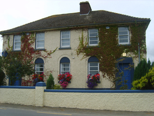 Ballycullane Garda Síochána Stationgarda station/constabulary barracks · 160 yd
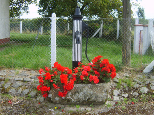 water pumpwater pump · 183 yd
 Lockheed Hudson AM885 MemorialMemorial · 1671 yd
 Embanked enclosureFairy fort / earthen ringfort · 1.0 mi
 EnclosureFairy fort / earthen ringfort · 1.1 mi
 Bawn in Boley (shelburne By.)Bawn · 1.4 mi
 Bawn in TaylorstownBawn · 1.5 mi
 Saltmills Explosion MemorialMemorial · 3.4 mi
 Tinnock RockNamed rock · 3.5 mi
 Coolcliffe HouseRuins · 4.5 mi
 Common WhitebeamCommon Whitebeam · 4.8 mi
 Dunbrody Abbey Visitor CentreHeritage attraction · 5.0 mi
Other information
Photo: Credit not shown in the picture search · Rights wording not checked; contact us if this picture should be removed