
What is recorded here
Rathurles Castle is a late sixteenth-century tower house in County Tipperary, built with three-metre limestone walls and a murder-hole above its entrance lobby. The Ollatrim River flows twenty-five metres east, while ivy now smothers much of the ruin. Its spiral stairs have collapsed above the first floor, leaving behind a chamber lit by flat-headed windows and a small mural room where defenders once looked down. The castle still embodies the fear and pride of turbulent Irish countryside life.
Rathurles Castle is recorded as a castle in County Tipperary. Its open map record supplies this location and any linked names or public references.
Rathurles Castle was built in the 13th century by the Fitzgerald family, the influential Norman lords of Kilkenny. It is remembered as part of the extensive network of castles that supported the Fitzgeralds' control over the region during the medieval period.
Places near here
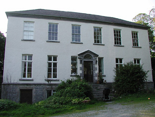 Rathurles Housecountry house · 203 yd
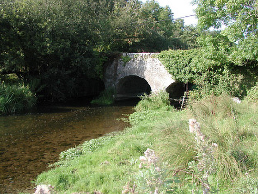 Rathurles Bridgebridge · 279 yd
 RathurlesFairy fort / earthen ringfort · 528 yd
 RathfallaFairy fort / earthen ringfort · 600 yd
 Lisbunny CastleCastle, hall-house · 1.0 mi
 Ballintotty Castle (in ruins)Castle, tower house · 1.2 mi
 James Devaney MemorialMemorial · 1.7 mi
 Old BarracksHeritage attraction · 2.3 mi
 Nenagh Heritage CentreMuseum · 2.6 mi
 Gibbet HillMountain / peak · 2.7 mi
 Ballycapple WoodForest · 4.0 mi
 Knigh HillMountain / peak · 4.9 mi
Other information
Photo: Credit not shown in the picture search · Rights wording not checked; contact us if this picture should be removed