What is recorded here
On crest of broad, flat-topped hill, above 400ft contour. Land falling gently W of monument, in pastureland. Hedgerow running N-S 4m E of moated site and field boundary running E-W 5m S of it. Though not in a typical moated site location, it consists of a rectangular area (diam. 30.3m N--S; 34.5m E-W) defined by low, broad bank along N side (Wth 1.5m crest, 2.4m base; H above int. 0.41m; H above ext. 0.41m), reduced to scarp on S side (Wth 3.1m crest, 4.5m base; H above int. 0.32m; H above fosse 1.05m), with flat-bottomed ext. fosse evident on S side (Wth 2.2m) with counterscarp (D 0.56m). Bank on E side is quite pronounced (Wth 2.2m crest, 4.8m base; H above int. 0.7m; H above ext. 1.17m). SE quadrant has been dug into resulting in a large depression (dims. 8m N-S; 10.5m E-W; D 1.27m). E end of S side has been flattened and SE angle (Wth 3.3m) has suffered from cattle erosion. Small shallow depression in interior in SE sector. Ring-feeder in interior in NW quadrant. Trees growing outer face of bank on S side. Lot of stone evident along crest of bank on S side. Apart from denuded bank in SE angle and on N side there is no clearly defined entrance.
Compiled by: Jean Farrelly
Date of upload: 26 August 2011
The monument record does not grant public access. Check the route and ask the landowner before entering private land.
- What survives
- Recorded monument
Places near here
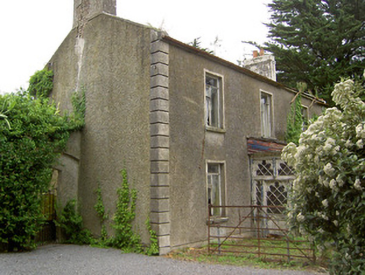 Shanballyard Househouse · 1093 yd
 Westgrove Househouse · 1603 yd
 RathardFairy fort / earthen ringfort · 1.3 mi
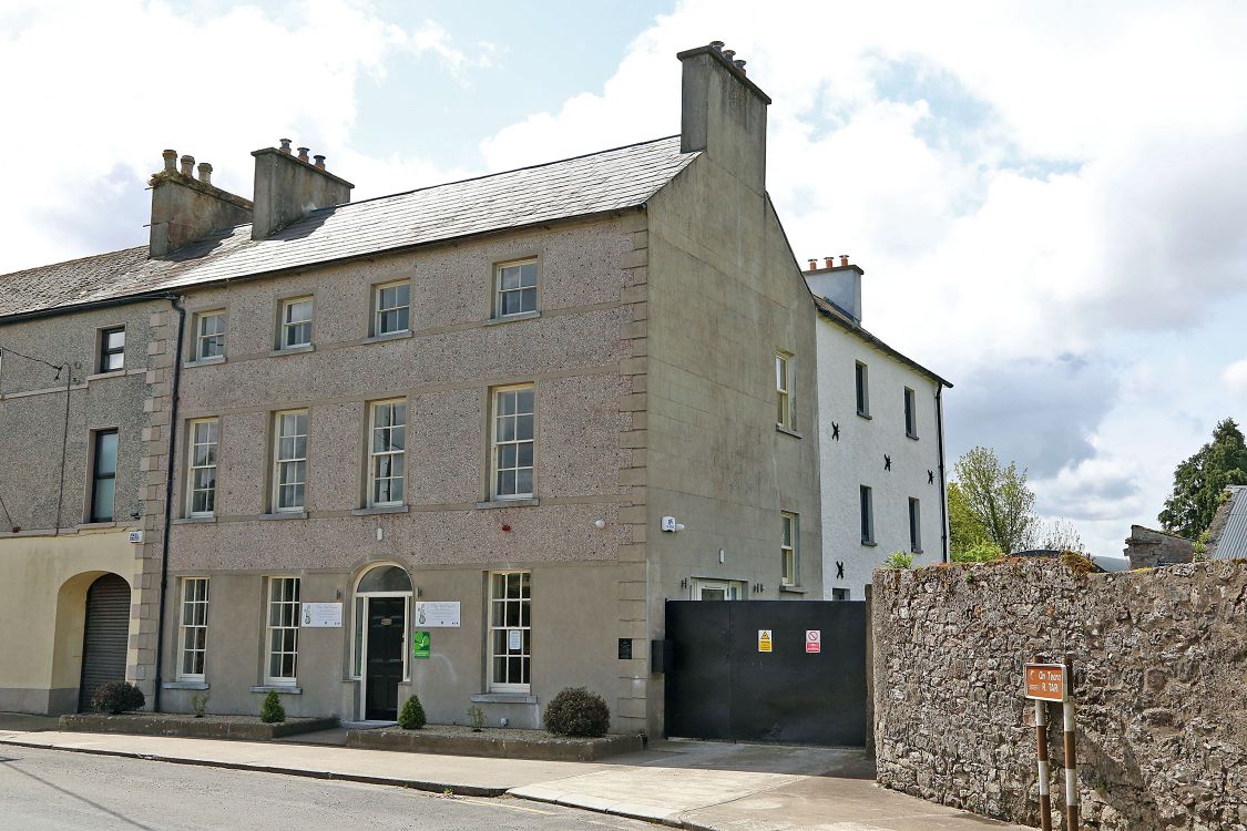 Woodinstown Ho.Castle, tower house · 1.5 mi
 Settlement desertedSettlement deserted, medieval · 1.9 mi
 Site of Black CastleCastle, unclassified · 1.9 mi
 Caher AbbeyHeritage attraction · 5.1 mi
 Siege of Cahir Castlesiege · 5.3 miCahir CastleHeritage attraction · 5.3 mi
 European YewEuropean Yew · 5.9 mi
 Cottagehill WoodForest · 6.0 mi
 Grubb's IslandIslet · 6.7 mi