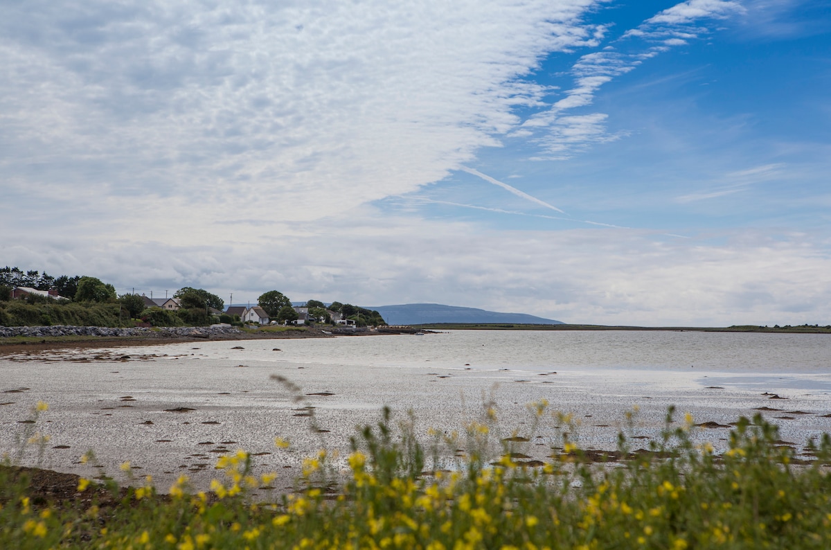
What is recorded here
Rathnapoura stands as a circular earthen ringfort twenty-eight metres across, perched on a grassy ridge in County Galway. Two banks and a central ditch still mark its shape, though gaps now breach the inner defence. Stone facing remains visible at the southwest, hinting that people built this place to resist time as much as invasion.
On the crest of a ridge in grassland. Circular rath (diam. 28m), in fair condition, defined by two banks and an intervening fosse. Internal stone-facing is visible on the inner bank at SW. The fosse and outer bank survive from WSW to NW. A number of gaps breach the inner bank. (Athy 1914, 139; McCaffrey 1952, 123, no. 25)
Compiled by: Galway Archaeological Survey, UCG
Date of upload: 3 April 2018
The monument record does not grant public access. Check the route and ask the landowner before entering private land.
- What survives
- Recorded monument
Places near here
 West WoodWood · 388 yd
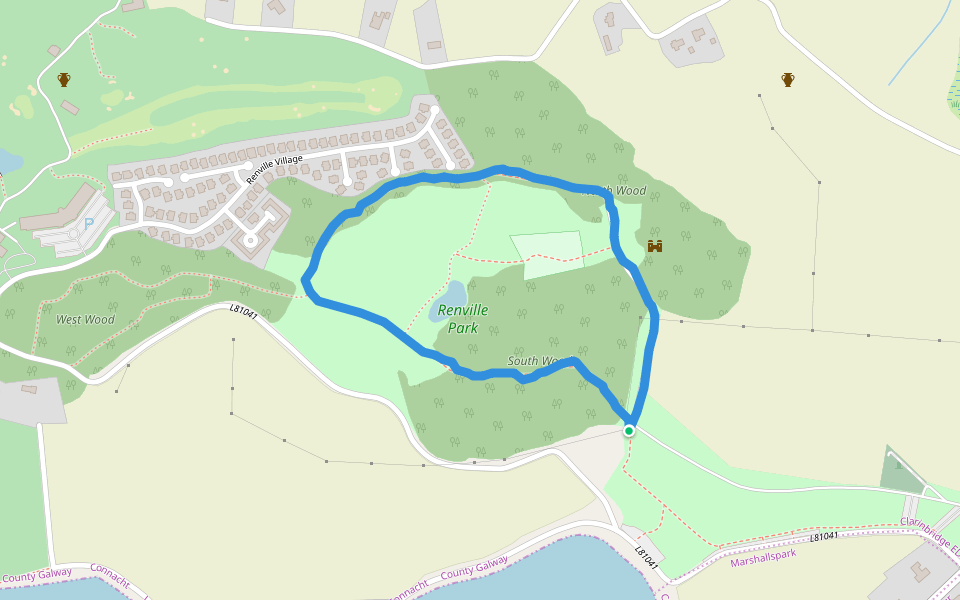 Renville HallRuins · 468 yd
 Leadmine HillMountain / peak · 567 yd
 RathgortaboyFairy fort / earthen ringfort · 573 yd
 IndicatedFairy fort / earthen ringfort · 616 yd
 North WoodWood · 714 yd
 CastleCastle, tower house · 915 yd
 Ardfry Housefarmyard complex · 1536 yd
 Castle (in Ruins)Castle, tower house · 1652 yd
 Rabbit IslandIslet · 1.6 mi
 Ardfry PointHeadland · 1.9 mi
 Ballyloughane BeachBeach / strand · 2.2 mi
Other information
Photo: Credit not shown in the picture search · Rights wording not checked; contact us if this picture should be removed