
What is recorded here
On a gentle N-facing slope in grassland. This well-preserved subcircular rath (30.5m N-S; 27m E-W) is defined by two banks and an intervening fosse. Internal stone-facing is evident on the inner bank from N through E to SE. The fosse and outer bank survive only from W to NW. Numerous gaps in the banks appear to be modern. Athy (1914, 139) refers to a possible standing stone in ‘a faintly marked circular depression’ (diam. c. 13.7m), immediately to the NW. According to local information, the same spot marked the site of a Man-made underground passage. However, on inspection the depression proved to be a natural feature and the stone appears to be a dressed stone flag of no antiquity. (McCaffrey 1952, 122-3, no. 23)
Compiled by: Galway Archaeological Survey, UCG
Date of upload: 3 April 2018
The monument record does not grant public access. Check the route and ask the landowner before entering private land.
- What survives
- Recorded monument
Places near here
 RathcommonFairy fort / earthen ringfort · 288 yd
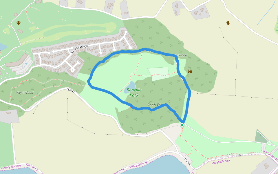
 North WoodWood · 387 yd
 Renville HallRuins · 500 yd
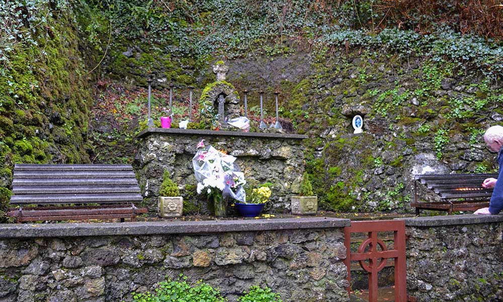 Holy well in Rinville WestHoly well · 511 yd
 CastleCastle, tower house · 564 yd
 South WoodWood · 645 yd
 Leadmine HillMountain / peak · 1131 yd
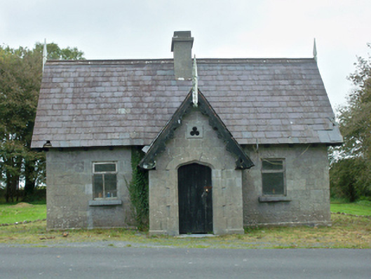 Rinville Parkgate lodge · 1260 yd
 Castle (in Ruins)Castle, tower house · 1.7 mi
 Rabbit IslandIslet · 1.9 mi
 Ardfry PointHeadland · 2.2 mi
 Ballyloughane BeachBeach / strand · 2.4 mi
Other information
Photo: Credit not shown in the picture search · Rights wording not checked; contact us if this picture should be removed