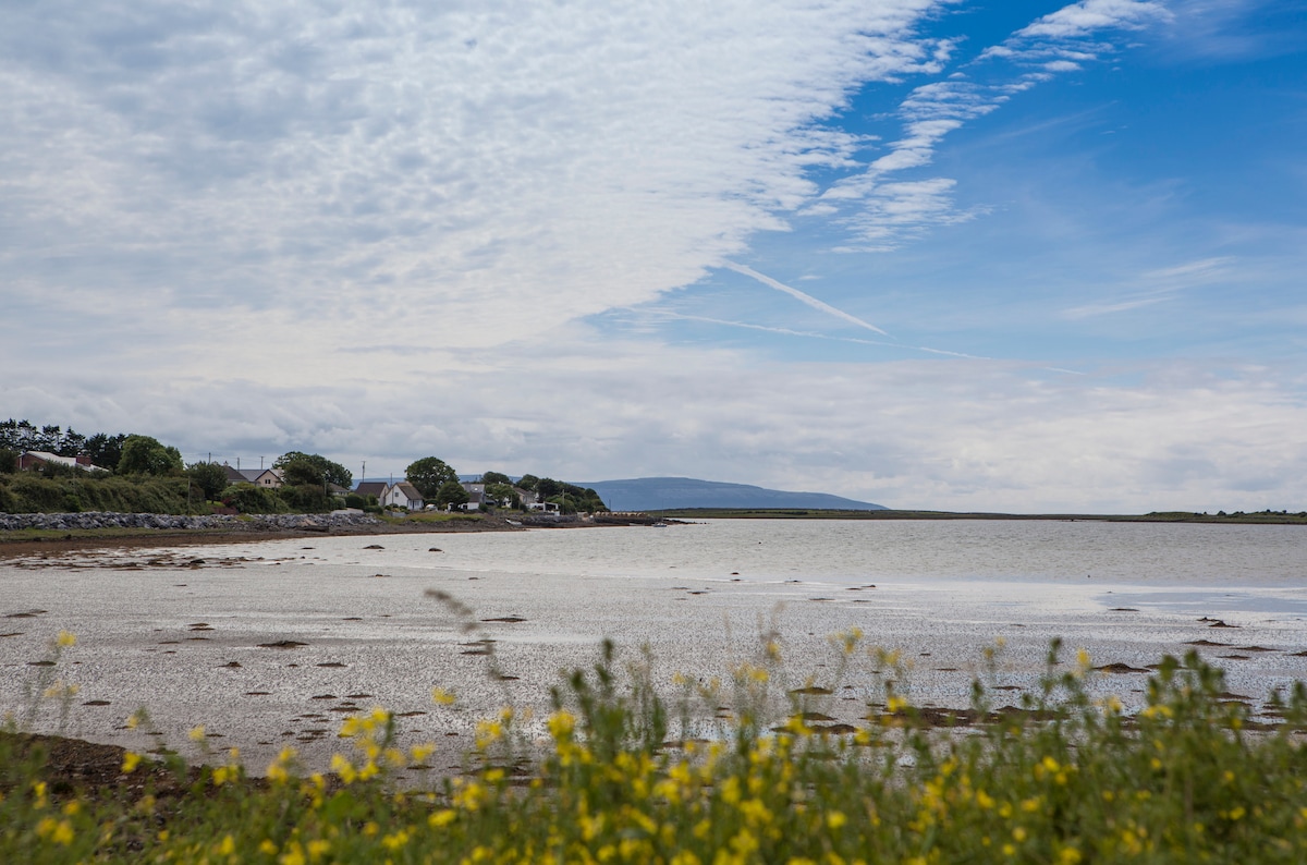
What is recorded here
On the crest of a ridge in grassland. Circular rath (diam. 28m), in fair condition, defined by two banks and an intervening fosse. Internal stone-facing is visible on the inner bank at SW. The fosse and outer bank survive from WSW to NW. A number of gaps breach the inner bank. (Athy 1914, 139; McCaffrey 1952, 123, no. 25)
Compiled by: Galway Archaeological Survey, UCG
Date of upload: 3 April 2018
The monument record does not grant public access. Check the route and ask the landowner before entering private land.
- What survives
- Recorded monument
Places near here
 West WoodWood · 388 yd
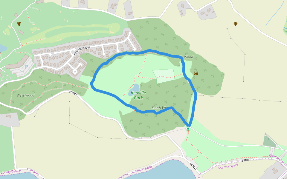 Renville HallRuins · 468 yd
 Leadmine HillMountain / peak · 567 yd
 RathgortaboyFairy fort / earthen ringfort · 573 yd
 IndicatedFairy fort / earthen ringfort · 616 yd
 North WoodWood · 714 yd
 CastleCastle, tower house · 915 yd
 Ardfry Housefarmyard complex · 1536 yd
 Castle (in Ruins)Castle, tower house · 1652 yd
 Rabbit IslandIslet · 1.6 mi
 Ardfry PointHeadland · 1.9 mi
 Ballyloughane BeachBeach / strand · 2.2 mi
Other information
Photo: Credit not shown in the picture search · Rights wording not checked; contact us if this picture should be removed