
What is recorded here
Half a century before the last walls fell, Rathnaleen Castle rose seven metres tall on a north-facing Tipperary slope, its thick limestone throat swallowing light and sound alike. Inside that small circular chamber, a family may have watched storms arrive from the sea of fields, certain the bawn and gatehouse would hold what the sky would not. Now only three metres of eastern wall remain, proud enough to prove the tower existed and humble enough to admit how much has left.
Rathnaleen Castle is recorded as a castle in County Tipperary. Its open map record supplies this location and any linked names or public references.
Rathnaleen Castle was built in the 17th century by the Butler family, who were prominent landowners in Tipperary. It is remembered as an example of early Irish country house architecture and as part of the historical landscape associated with the influential Butler dynasty.
Places near here
 RathnaleenFairy fort / earthen ringfort · 605 yd
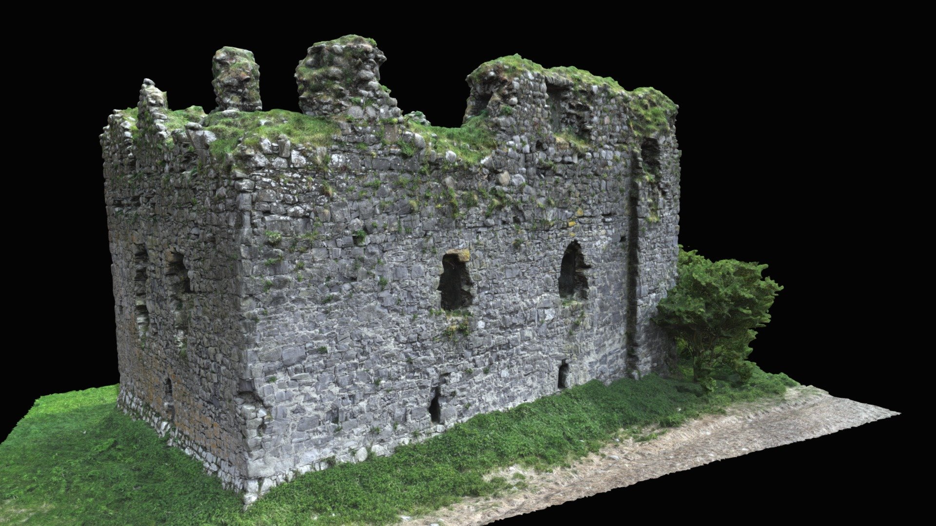 Enclosure in LisbunnyEnclosure · 792 yd
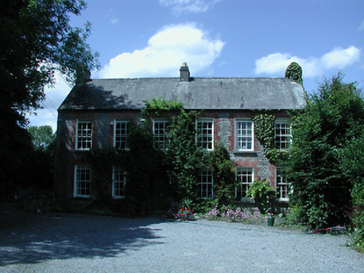 Riverston Millsteward's house · 1172 yd
 Lisbunny CastleCastle, hall-house · 1266 yd
 Riverstonhouse · 1286 yd
 Old BarracksHeritage attraction · 1.0 mi
 CastleCastle, Anglo-Norman masonry castle · 1.2 mi
 Nenagh Heritage CentreMuseum · 1.3 mi
 James Devaney MemorialMemorial · 2.1 mi
 Gibbet HillMountain / peak · 2.7 mi
 Knigh HillMountain / peak · 4.0 mi
 Ballycapple WoodForest · 4.6 mi
Other information
Photo: Credit not shown in the picture search · Rights wording not checked; contact us if this picture should be removed