What is recorded here
In undulating pasture, located on a rise with very good views, including Lough Conn to E.
Named ‘Rathnacourtia’ on the 1838 and 1922 OS 6-inch map, this rath consists of a raised oval area (19m E-W; 25m N–S) defined on the N half by an earthen bank (Wth 3.5m; int. H 0.4m; ext. H 0.85m), and elsewhere by a dilapidated inward-facing scarp. Stones protruding from the inner face of the bank may be remnants of facing or a kerb. The level NW half of the interior is at a higher level than the SE half; this appears to be the result of past quarrying away of soil from the S half of the interior. The scarp defining the S half appears therefore not to be a primary enclosing element but rather to result from later disturbance, and it is possible that the original plan of the rath was more circular than its present oval shape.
There is an enclosure (MA038-060----) c. 175m to S.
Compiled by: Jane O'Shaughnessy
Date of upload: 29 July 2019
The monument record does not grant public access. Check the route and ask the landowner before entering private land.
- What survives
- Recorded monument
Places near here
 RathmacormickEnclosure · 231 yd
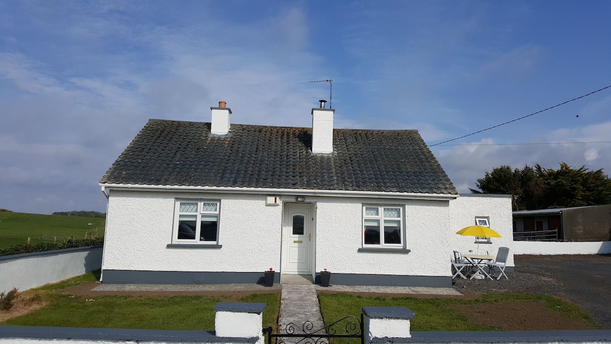 Enclosure in BengeeryEnclosure · 469 yd
 Cloonamine Housefarm house · 1678 yd
 Church in ruinsChurch · 1.0 mi
 Inishcoe Castle in ruinsCastle, unclassified · 1.2 mi
 Grave of the KingsArchaeological place · 1.4 mi
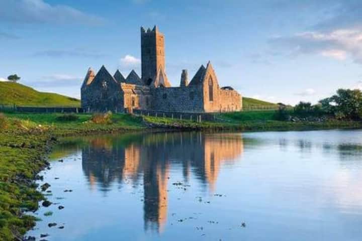 Castle in RuinsCastle, tower house · 1.5 mi
 Castle IslandIslet · 1.7 mi
 Roe IslandIslet · 2.1 mi
 Titanic Memorial ParkMemorial · 3.4 mi
 NephinMountain / peak · 4.9 mi
 KnockaffertaghMountain / peak · 8.3 mi