What is recorded here
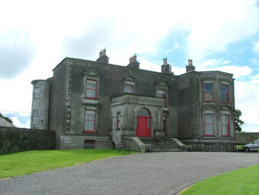
Detached cruciform three-bay two-storey over raised basement house, built c.1800 to front of existing house erected c.1660, with porch and canted bays to southern end of front and rear elevation and full-height bow to east. Set within its own grounds. Pitched slate roof with terracotta ridge tiles, rendered chimneystacks with terracotta pots and cast-iron rainwater goods, hidden behind parapet wall. Channeled render to basement with quoins, smooth render above. Square-headed window openings with timber sash windows and stone sills having a variety of pedimented stone surrounds. Projecting porch with flat roof, engaged Doric columns flanking round-headed door opening with tooled stone surround, plain fanlight and timber sash windows to side elevations. Double timber doors with cut stone steps flanked by wall with cut stone capping and bootscrapers. Stone balustrade to front of canted bay. Slate water tank to rear of house with Masonic and scull-and-crossbones motifs. Walled garden to south-west of house with random coursed wall and accessed through square-headed opening and cast-iron gates.
This striking Rathmoyle House, now in use as a stud farm, overlooks a sweeping lawn. Set back from the roadway down a long drive, this immense structure has a commanding presence with ornate Doric porch and decorative canted bay windows with Neo-Classical pedimented surrounds. Other notable features include the parapets and impressive stone steps. In excellent repair, this is a fine example of a prosperous country manor.
This does not grant access. Most recorded buildings are privately owned; view them only from public ground unless the owner allows entry.
Places near here
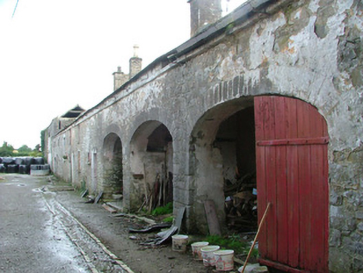 Rathmoyle Houseoutbuilding · 40 yd
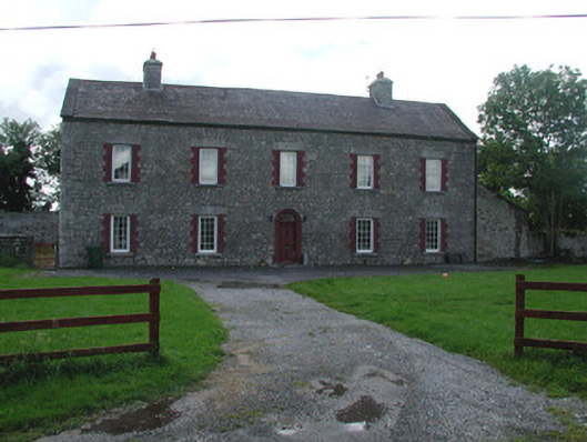 Dunville Househouse · 705 yd
 CrossCross, Wayside cross (present location) · 1096 yd
 BarrowBarrow, ring-barrow · 1305 yd
 Clonin EarthworksMountain / peak · 1740 yd
 Holy PlantationForest · 1.1 mi
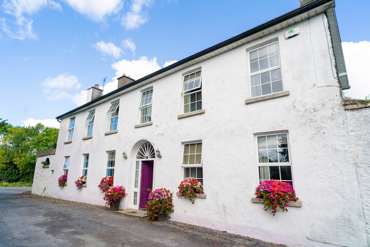 Ballyburly Ho.Castle, unclassified · 1.2 mi
 Victoria PlantationWood · 1.2 mi
 Ballybrittan CastleCastle, tower house · 1.6 mi
 Moat HillMountain / peak · 2.7 mi
 Croghan HillMountain / peak · 3.8 mi
 Croghan Hill WalkVisitor information · 3.9 mi
Other information
Photo: National Inventory of Architectural Heritage · Website use allowed for educational or private purposes with source credit