What is recorded here
On a S-facing slope in grassland. When visited in February 1984, this poorly preserved subcircular rath (52m NE-SW) was defined by a much-degraded and overgrown earthen bank and external fosse. Traces of a collapsed N-S running field wall were evident immediately outside the fosse at E and another E-W running field wall was visible outside it at N. The bank was best preserved from SW to W but from E to S most of it had been dug out. A causewayed entrance gap (Wth 5.2m) was evident at E. A possible Man-made underground passage (GA084-123001-) is associated. On a revisit in April 1991, it was noted that the bank had been partially bulldozed from S to SW and the resulting material was pushed into the fosse.
Compiled by: Galway Archaeological Survey, UCG
Date of upload: 12 March 2018
The monument record does not grant public access. Check the route and ask the landowner before entering private land.
- What survives
- Recorded monument
Places near here
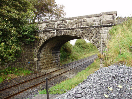 Derrydonnell Bridgebridge · 734 yd
 Enclosure in CloranEnclosure · 976 yd
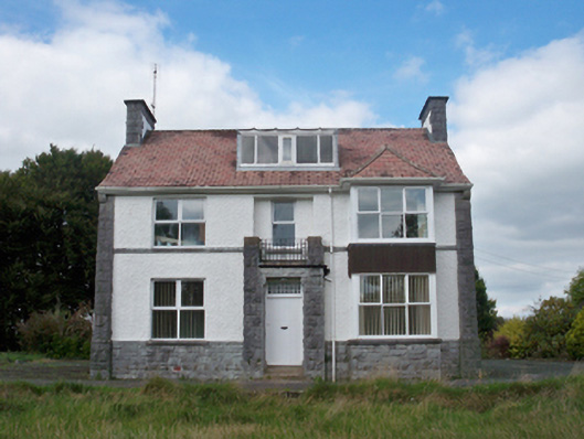 Mellows Campusbuilding misc · 1294 yd
 CaherhenryFairy fort / stone ringfort · 1409 yd
 Derrydonnell Castle (in ruins)Castle, tower house · 1.2 mi
 Castle (in Ruins)Castle, unclassified · 1.6 mi
 Horse-chestnutHorse-chestnut · 2.4 mi
 Athenry AbbeyHeritage attraction · 2.4 mi
 Athenry CastleHeritage attraction · 2.4 mi
 First Battle of Athenrybattle · 2.7 mi
 Moyard WoodWood · 4.0 mi
 Rabbit IslandIslet · 8.8 mi