What is recorded here
On a S-facing slope in pastureland. Marked on the 1933 edition of the OS 6-inch map as a subrectangular
enclosure (c. 65m NE-SW; c. 45m NNW-SSE) defined by a line of hachures along the E, S and W sides; a NE-SW field boundary cuts across it from c. NE to W and no trace of it is shown in the field to the N. A fosse is shown along the E side and along the E end of the S side. No visible surface trace survives, however, faint traces of the outline of its S side are visible on aerial imagery taken in March 2011 (Google 2019).
Compiled by: Galway Archaeological Survey, UCG
Date of upload: 6 August 2019
The monument record does not grant public access. Check the route and ask the landowner before entering private land.
- What survives
- Recorded monument
Places near here
 CaherhenryFairy fort / stone ringfort · 831 yd
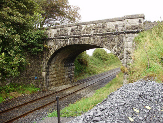 Derrydonnell Bridgebridge · 1097 yd
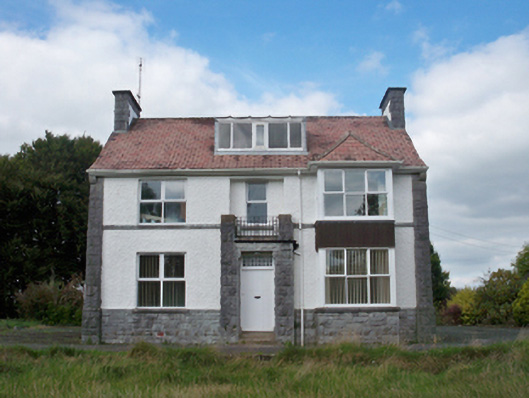 Mellows Campusbuilding misc · 1185 yd
 CaherFairy fort / stone ringfort · 1.0 mi
 Derrydonnell Castle (in ruins)Castle, tower house · 1.4 mi
 Castle (in Ruins)Castle, unclassified · 2.0 mi
 Athenry AbbeyHeritage attraction · 2.2 mi
 Athenry CastleHeritage attraction · 2.3 mi
 Horse-chestnutHorse-chestnut · 2.3 mi
 First Battle of Athenrybattle · 2.7 mi
 Moyard WoodWood · 3.5 mi
 Leadmine HillMountain / peak · 8.2 mi
Other information
Photo: Credit not shown in the picture search · Rights wording not checked; contact us if this picture should be removed