
What is recorded here
In pasture, prominently sited on a small gravel ridge, in an area of rolling terrain. It is located adjacent to the E boundary of the townland which coincides with a canalised stream. Loughnapastia lake is 170m to NNE. Nephin Mountain looms in the distance at SW, with the Nephin Beg range defining the far horizon at SW-W.
This possible barrow is named ‘Rathmarrick’ on the 1838 and 1922 OS 6-inch maps. It consists of a raised flat-topped circular area or platform (6.5m) defined on its outer edge by a stony bank (Wth 1.9m; int. H 0.5m; ext. H 0.65m, at SSW). The bank is evident as a low irregular jumble of sod-covered earth and stones. On the NW arc it has a steeper external slope, merging with the fall of ground (H 1.6m); both the external face of the bank and the ridge slope appear to have been scarped or cut away.
It is ringed with hazel and blackthorn scrub and brambles.
Compiled by: Jane O'Shaughnessy
Date of upload: 6 August 2019
The monument record does not grant public access. Check the route and ask the landowner before entering private land.
- What survives
- Recorded monument
Places near here
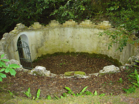 Enniscoe Housemausoleum · 728 yd
 IndicatedEnclosure · 1072 yd
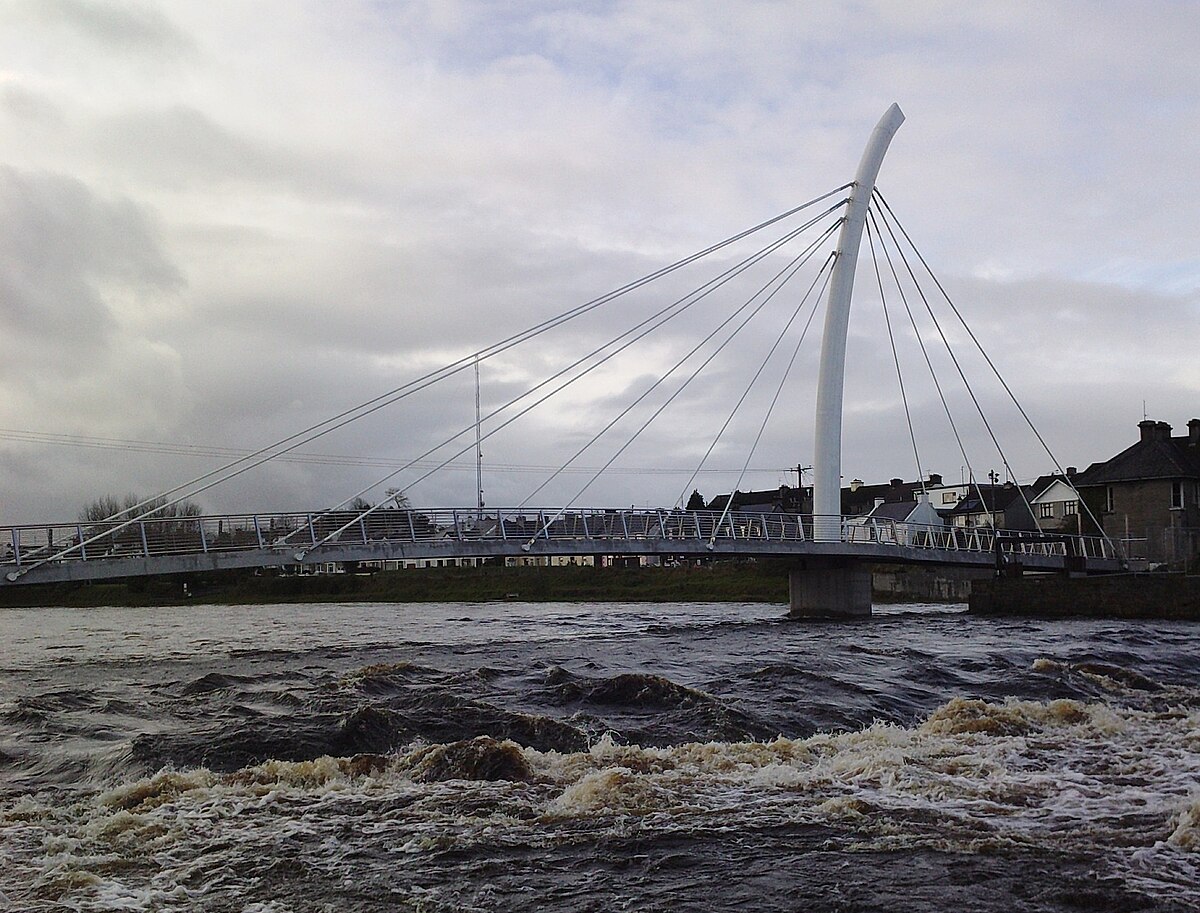 TobertiernanHoly well · 1125 yd
 Church in ruinsChurch · 1344 yd
 Inishcoe Castle in ruinsCastle, unclassified · 1.1 mi
 Castle IslandIslet · 1.1 mi
 Castle in ruinsCastle, unclassified · 1.1 mi
 Roe IslandIslet · 1.4 mi
 Grave of the KingsArchaeological place · 2.0 mi
 Titanic Memorial ParkMemorial · 2.4 mi
 NephinMountain / peak · 4.2 mi
 FarbreigaMountain / peak · 7.2 mi
Other information
Photo: Credit not shown in the picture search · Rights wording not checked; contact us if this picture should be removed