
What is recorded here
In rock outcrop. Poorly preserved subcircular cashel (24.2m NNW-SSE) defined by a collapsed drystone wall; traces of inner and outer wall-facing survive at SE and S. (McCaffrey 1952, 191, no. 100)
Compiled by: Galway Archaeological Survey, UCG
Date of upload: 15 September 2017
Rathgall is a poorly preserved early-medieval subcircular cashel situated on a rock outcrop, with a collapsed drystone wall and traces of inner and outer wall-facing. Local tradition and the name "Rathgall" may hint at historical or folkloric associations, though specific folklore is not recorded.
The monument record does not grant public access. Check the route and ask the landowner before entering private land.
- What survives
- Recorded monument
Places near here
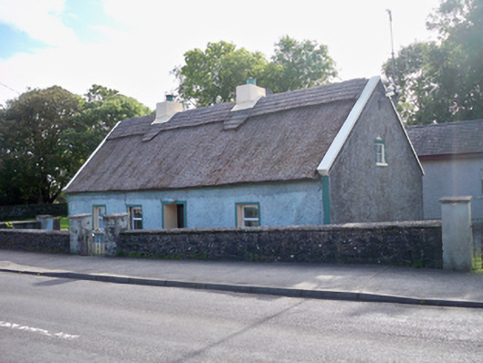 Bertie's Cottagehouse · 676 yd
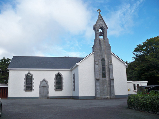 Saint Colman's Catholic Churchchurch/chapel · 897 yd
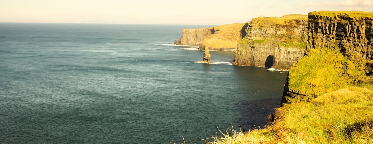 Ballinderreen FortFairy fort / earthen ringfort · 1069 yd
 Drumacoo Monastic SiteHeritage attraction · 1265 yd
 Cross in DrumacooCross · 1270 yd
 Site of Kilcolgan CastleCastle, tower house · 1.6 mi
 MweenisharanIslet · 1.9 mi
 IllananireyIslet · 2.6 mi
 Ballynacourty Court (in ruins)Castle, hall-house · 2.8 mi
 Mweenish PointHeadland · 3.1 mi
 Kilcornan ForestWood · 3.1 mi
 Loughaun WoodWood · 3.4 mi
Other information
Photo: Credit not shown in the picture search · Rights wording not checked; contact us if this picture should be removed