What is recorded here
Ratheur is a circular earthen fort in County Mayo, Ireland, preserving a human boundary where pasture and memory still meet. Its stone-flecked bank rises beside a small lake, marking a place old enough to belong before written records. The fort may have housed families, stored grain or witnessed seasonal movement across the rolling land.
Located close to the SE boundary of the townland, on a broad low rise, with good views over the surrounding wettish-average, rolling pasture. There is a small lake 200m to SE.
This rath is named ‘Ratheur’ on the 1838 and 1929 OS 6-inch maps. It consists of a raised circular area (26m NW–SE; 27m NE–SW) defined by a bank (Wth 4.2m at NW; 4.2m at SE; int. H 0.6m at NW, 0.2m at SE; ext. H 1.5m at NW, 1.3m at SE) of earth and stone. The bank is generally well defined, though low internally on the S arc. Stones protrude from its slopes, particularly on the external slope. A slight depression (Wth 3m) is evident outside the bank at NE, but not elsewhere around the circuit, and it is unclear if it represents evidence of a fosse.
The interior is level and featureless. The entrance is at the E, where there is a gap (2m) in the bank, now largely obscured by overgrowth.
The perimeter is ringed with hawthorn, blackthorn and ash trees; the interior is grassy with, clumps of brambles at E.
Compiled by: Jane O’Shaughnessy
Date of upload: 2 May 2019
The monument record does not grant public access. Check the route and ask the landowner before entering private land.
- What survives
- Recorded monument
Places near here
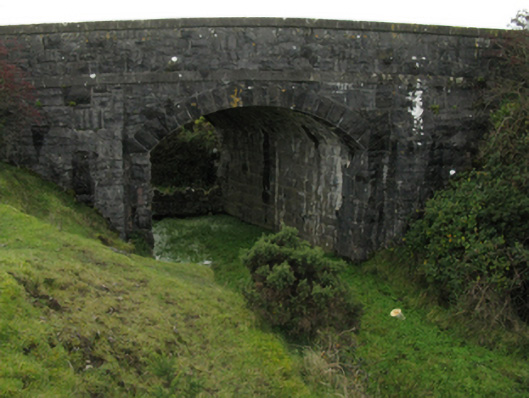 bridgebridge · 228 yd
 CastleCastle, unclassified · 530 yd
 Cross FortFairy fort / earthen ringfort · 560 yd
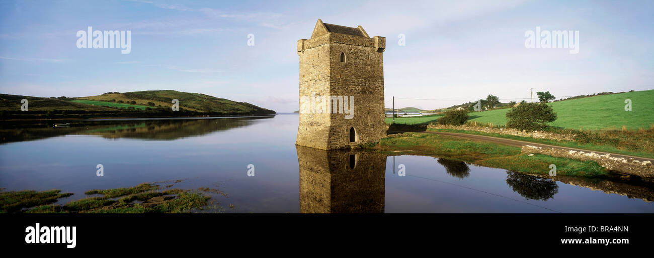 Cullahoof FortFairy fort / earthen ringfort · 1010 yd
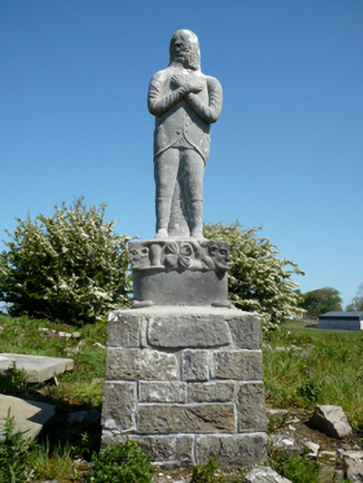 Grave monumentGrave monument · 1193 yd
 Moyne AbbeyHeritage attraction · 1639 yd
 Battlefields of MoyneBattlefield · 1.0 mi
 Gortabradawn PointHeadland · 1.2 mi
 Bawn in Meelick (tirawley By.)Bawn · 1.2 mi
 Barnasock PointHeadland · 1.4 mi
 Bartragh IslandIsland · 1.7 mi
 Horse IslandIslet · 1.8 mi