
What is recorded here
Described by Carrigan as 'a town, Rathdowney cannot boast of any great antiquity. It must have been a very small village in 1665, as only about a dozen persons paid hearth money in the whole townland of Rathdowney in this year' (Carrigan 1905, vol. 2, 340). Described by Feehan as 'Rathdowney takes its name from a…
Read the whole record
From the National Monuments Service (Archaeological Survey of Ireland) record LA028-112
Places near here
Photo credits
- National Inventory of Architectural Heritage
- Maker not stated on source page, www.etsy.com
- DAR Golf project gallery; individual photographer not stated, dargolf.com
- Golfing in Ireland; photographer not stated, Source publisher
- Maker not stated on source page, commons.wikimedia.org
- Maker not stated on source page, www.echolive.ie
- Maker not stated on source page, ca.pinterest.com
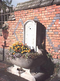 Perry Memorial FountainFountain · 20 yd
Explorer Tom The Perry Memorial Fountain makes a sad hissing sound at night when the wind hits its empty spout. It used to splash…
 The LodgeGate lodge · 31 yd
Explorer Tom The Lodge in Rathdowney is Tudor Gothic, which means it’s fancy and probably judging your outfit. It’s secretly proud…
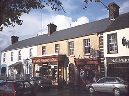 Richard Williams and SonsOfficially recorded historic building · 51 yd
Explorer Tom History in Rathdowney claims this building has an imaginary twin across the sea, but they clearly never met. It's a…
 J.c. RyanOfficially recorded historic building · 56 yd
Explorer Tom J.c. Ryan thinks if it wins the lotto, it will just paint the shopfront a different colour and call it a day. It’s been…
 J.a. O'MalleyPublic house · 60 yd
Explorer Tom J.a. O'Malley is a pub where fairies are currently fighting over who gets to park their tiny, invisible cars in the…
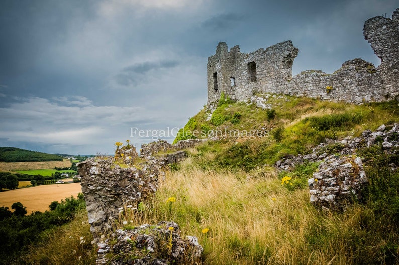 CastleCastle, ringwork · 185 yd
Explorer Tom Castle in Rathdowney is playing hard to get; they levelled it in 1840 and dumped five cart loads of bones, so it’s…
 Kelly Daly Park, RathdowneyGAA ground · 424 yd
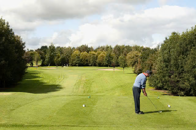 Rathdowney Golf ClubGolf course · 761 yd
 Fairy fort / earthen ringfort in KilcoranFairy fort / earthen ringfort · 1196 yd
Explorer Tom Fairy fort / earthen ringfort in Kilcoran thinks the local sheep are better historians than any book ever written. The…
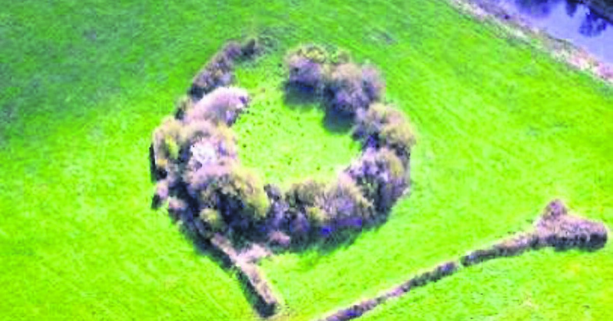 Fairy fort / earthen ringfort in Johnstown GlebeFairy fort / earthen ringfort · 1373 yd
Explorer Tom Fairy fort / earthen ringfort in Johnstown Glebe would describe the 1800s to a teenager as 'before Wi-Fi'. It sits on a…
 Rathdowney GraveyardCemetery · 1381 yd
Explorer Tom Rathdowney Graveyard sits quietly next to what must have been the worst love story in County Laois history. Apparently…
 Castle (in Ruins)Castle, tower house · 1485 yd
Explorer Tom Castle in Castletown has very strong opinions on modern buildings, specifically that they’re all made of cardboard and…
More archaeology and monuments in County Laois · All of County Laois

What do you know about this place?Tap to add a comment or ask a question