What is recorded here
Aerial photograph (CUCAP AYL 81) shows cropmark of bank and broad, well-marked fosse defining approximately circular area (est max diam. c. 70m), with probable entrance at E. Small portion of bank and fosse visible at NE. Saddle quern found on site (NMI). Situated on slight rise.
Date of upload: 5 September 2016
The monument record does not grant public access. Check the route and ask the landowner before entering private land.
- What survives
- Recorded monument
Places near here
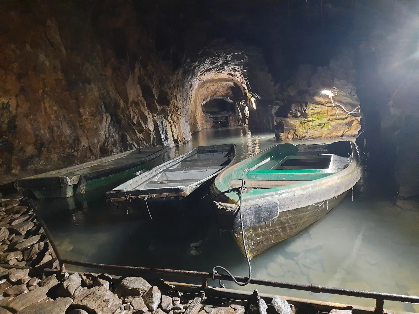 Enclosure in MullamastEnclosure · 647 yd
 Mullaghmast RathFairy fort / earthen ringfort · 1006 yd
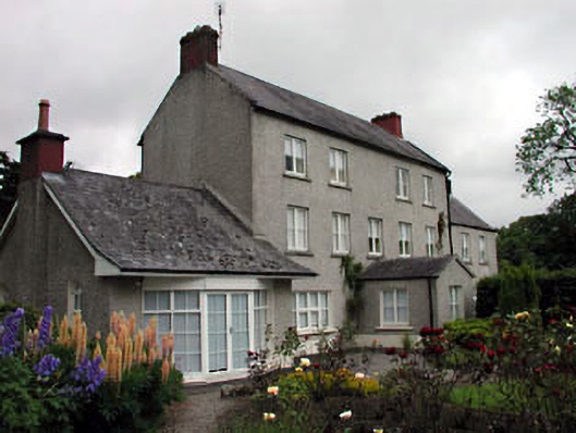 Mullamast Housefarm house · 1334 yd
 Church in GlasselyChurch · 1.1 mi
 Narraghmore WoodWood · 1.5 mi
 Burtown House and GardensHeritage attraction · 1.6 mi
 CrookanurnWood · 1.8 mi
 Gorden Bennet Race memorialMemorial · 2.4 mi
 Ardscull MoatCastle, motte · 2.4 mi
 History of Moat of ArdscullVisitor information · 2.5 mi
 CastleCastle, unclassified · 2.6 mi
 Battle of Kilrushbattle · 3.1 mi