What is recorded here
In pasture, 115m E of townland boundary with Bottomstown. ‘Tobergobban’ holy well (LI040-017----) and graveyard (LI040-018001-) lie 200m to the NE. Annotated ‘Rathanny’ on the 1897 ed. OSi 25-inch map and shown as a circular platform (diam. c. 22m) defined by a scarp, immediately S of a post-1700 field boundary running E-W. Described by O’Kelly (1944, 32) as a ‘Type C Earthwork’ consisting of; ‘A flat topped mound around which there is a berm. There does not seem to have been a fosse. The maximum height is 10’ [3m] and overall diameter is 95’ [28.9m]. A possible cist was recorded by W. Forbes (pers. comm. 26/05/1986) which was described as follows; ‘Cist or stone entrance feature on barrow or rath name ‘Rathanny’ on map in Rathanny townland’ (SMR File). Scrub-covered monument visible on Digital Globe orthoimage taken between 2011-13 and on Google Earth orthoimages.
See attached Google Earth orthoimages.
Compiled by: Fiona Rooney
Date of upload: 19 May 2021
The monument record does not grant public access. Check the route and ask the landowner before entering private land.
- What survives
- Recorded monument
Places near here
 Grave YardBurial ground · 249 yd
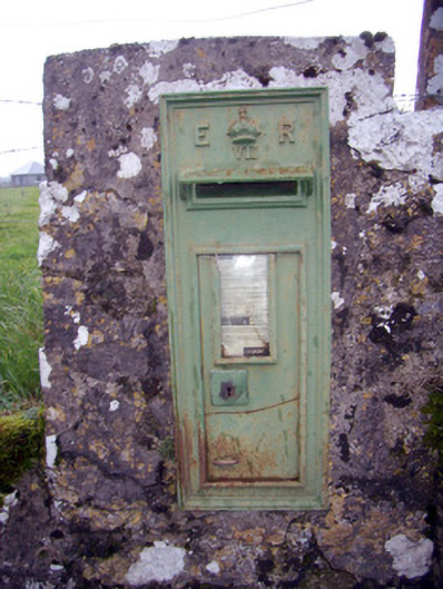 post boxpost box · 689 yd
 BarrowBarrow, unclassified · 888 yd
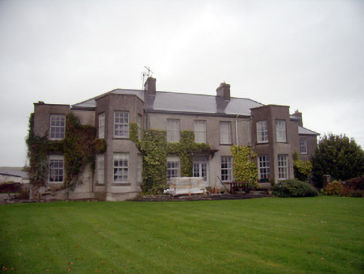 Knockainy Studcountry house · 970 yd
 Knockainy Castle (in ruins)Castle, tower house · 1539 yd
 Desmond Castle (in ruins)Castle, unclassified · 1570 yd
 Flat cemetery in Knockainy WestFlat cemetery · 1.0 mi
 KnockainyMountain / peak · 1.3 mi
 St Patrick's WellSpring · 3.6 mi
 Edmund's WellSpring · 4.4 mi
 Kilteely HillMountain / peak · 5.0 mi
 Ballinvreena LoopVisitor information · 5.1 mi