What is recorded here
In grassland. Described by Cody (1989, 198-200, no. 49) as a poorly preserved circular rath (diam. 65m) defined by two banks and an intervening fosse. There was a wide causewayed gap (Wth 15m) at S and within the interior an internal division which cut off SE quadrant from the rest of the site. In 2011 the monument was damaged when the outer bank was levelled and the resulting material was pushed inwards to infill the fosse. (CUCAP BDN 64)
Compiled by: Galway Archaeological Survey, UCG
Date of upload: 15 December 2017
A local fairy fort (ringfort/rath); wider significance not recorded.
The monument record does not grant public access. Check the route and ask the landowner before entering private land.
- What survives
- Recorded monument
Places near here
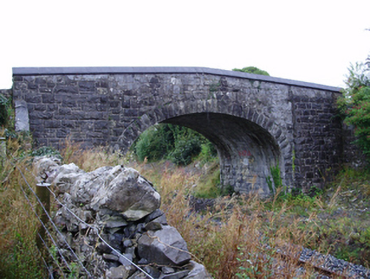 Farranablake Bridgebridge · 434 yd
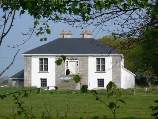 Rockmorehouse · 581 yd
 ToberconnellyHoly well · 1034 yd
 Enclosure in BottomEnclosure · 1120 yd
 Athenry AbbeyHeritage attraction · 1.0 mi
 Athenry CastleHeritage attraction · 1.1 mi
 Castle or King Johns Court (in ruins)Castle, Anglo-Norman masonry castle · 1.2 mi
 Horse-chestnutHorse-chestnut · 1.3 miFirst Battle of Athenrybattle · 1.9 mi
 Moyard WoodWood · 2.2 mi
 Castle (in Ruins)Castle, unclassified · 2.4 mi
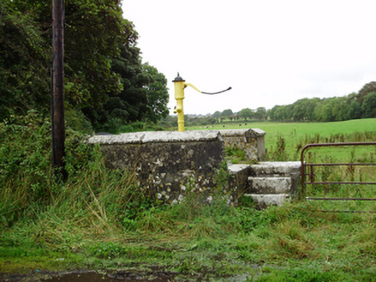 water pumpwater pump · 876 yd