What is recorded here
In elevated area, bisected by road with arable land to N and margin of pasture to S. No visible surface trace. Depicted as oval area (dims.) on 1840 OS 6-inch map and shown on GSI AP (Ref. S.656/5) dated 1974 as roughly circular area of differential growth bisected by road (long-axis WNW-ESE). Road (TS069-082----) located c. 70m to SE.
Compiled by: Jean Farrelly
Date of upload: 26 August 2011
The monument record does not grant public access. Check the route and ask the landowner before entering private land.
- What survives
- Recorded monument
Places near here
 IndicatedRoad, road/trackway · 634 yd
 St. Nicholas WellHoly well · 988 yd
 Mora Church (in ruins)Church · 1007 yd
 Enclosure in Moorstown (mora Par.)Enclosure · 1177 yd
 Tullamain MoatCastle, motte and bailey · 1.3 mi
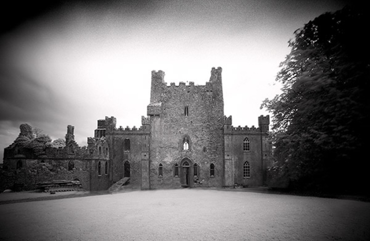 Castle Blake in ruinsCastle, tower house · 1.4 mi
 Pedunculate OakPedunculate Oak · 3.3 mi
 European YewEuropean Yew · 3.3 mi
 Kilknockan HillMountain / peak · 4.1 mi
 Cashel Folk MusuemMuseum · 6.7 mi
 The Rock Of CashelVisitor information · 6.8 mi
 Caher AbbeyHeritage attraction · 8.3 mi