What is recorded here
No exact point on the open field, no stone circle, no broken ring, no visible trace. The name appears alone in the public record for Ballycarton. A rath may have stood there before the land was divided into farms and roads. People may have lived beside it, forgotten it, and stopped repeating its shape.
The official Northern Ireland record identifies this as RATH (unlocated). Recorded period: E.CHRIST.. The official map point was placed at the centre of the recorded archaeological site from the source map reference.
The monument record does not grant public access. Check the route and ask the landowner before entering private land.
- What survives
- Recorded monument
Places near here
 CHURCH (in ruins), GRAVEYARD & ?ENCLOSURE in RathfadCHURCH (in ruins), GRAVEYARD & ?ENCLOSURE · 1226 yd
 Swann's BridgePicnic place · 1301 yd
 Devil's ThumbNamed rock · 1434 yd
 Aghanloo Church of Ireland ChurchChurch · 1616 yd
 BinevenaghMountain / peak · 1.0 mi
 Bellarena SchoolSchool · 1.2 mi
 Binevenagh ViewViewpoint · 1.3 mi
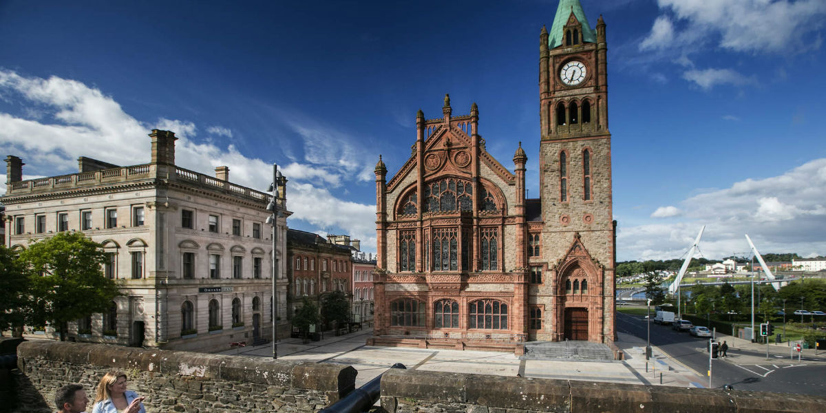 ENCLOSURE in BallyhannaENCLOSURE · 1.4 mi
 Aidan's WellSpring · 1.5 mi
 Ballyhanna ForestForest · 2.7 mi
 DrenaghCastle · 3.4 mi
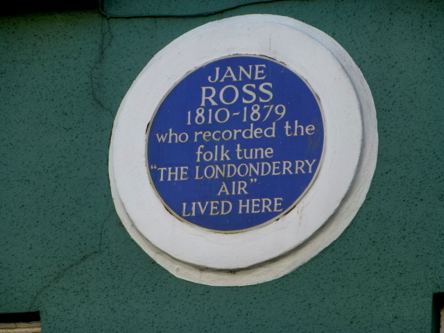 Where Jane Ross recorded Danny BoyMemorial · 3.6 mi