
What is recorded here
Rathfad still holds a ruined church and graveyard from the middle ages, though the exact enclosure remains uncertain. The stones have watched County Derry change around them for centuries. People may have prayed, buried their dead and drawn boundaries there before the name faded from common use. What is left is a small religious landscape waiting to be recognised.
The official Northern Ireland record identifies this as CHURCH (in ruins), GRAVEYARD & ?ENCLOSURE. Recorded period: MED/L.MED. The official map point was placed at the centre of the recorded archaeological site from the source map reference.
The monument record does not grant public access. Check the route and ask the landowner before entering private land.
- What survives
- Recorded monument
Places near here
 Aghanloo Church of Ireland ChurchChurch · 397 yd
 ENCLOSURE (O.S. memoir site, unlocated) in BallycastleENCLOSURE (O.S. memoir site, unlocated) · 1.2 mi
 Swann's BridgePicnic place · 1.3 mi
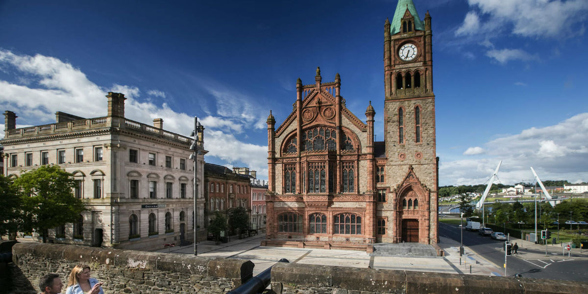 ENCLOSURE in BallyhannaENCLOSURE · 1.5 mi
 Devil's ThumbNamed rock · 1.5 mi
 BinevenaghMountain / peak · 1.6 mi
 Bellarena SchoolSchool · 1.8 mi
 Binevenagh ViewViewpoint · 2.0 mi
 Aidan's WellSpring · 2.2 mi
 DrenaghCastle · 2.7 mi
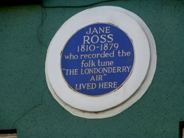 Where Jane Ross recorded Danny BoyMemorial · 2.9 mi
 Ballyhanna ForestForest · 2.9 mi
Other information
Photo: Credit not shown in the picture search · Rights wording not checked; contact us if this picture should be removed