What is recorded here
St. Cillian's fort in Tollymore, County Down, is a scheduled rath from the early Christian era, marked on official maps as a centre of recorded archaeology rather than a forgotten myth. The name suggests a religious leader claimed the land, perhaps building a defensible home where faith and fear of invasion collided. A rath is not a passive mound; it is a boundary drawn in earth, a warning that even sacred people needed walls when darkness moved through the valley.
The official Northern Ireland record identifies this as RATH: ST. CILLAN'S FORT. Recorded period: E.CHRIST.. Recorded protection: Scheduled. The official map point was placed at the centre of the recorded archaeological site from the source map reference.
The monument record does not grant public access. Check the route and ask the landowner before entering private land.
- What survives
- Recorded monument
Places near here
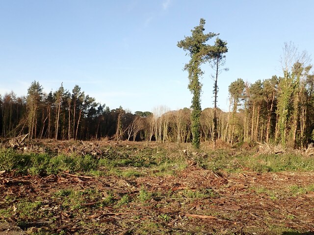 Tipperary WoodsForest · 435 yd
 Manor HouseHouse · 880 yd
 Newcastle Presbyterian ChurchChurch · 1152 yd
 Newcastle Heritage Trail - Old Railway StationVisitor information · 1217 yd
 Beach AvenueWalking route · 1302 yd
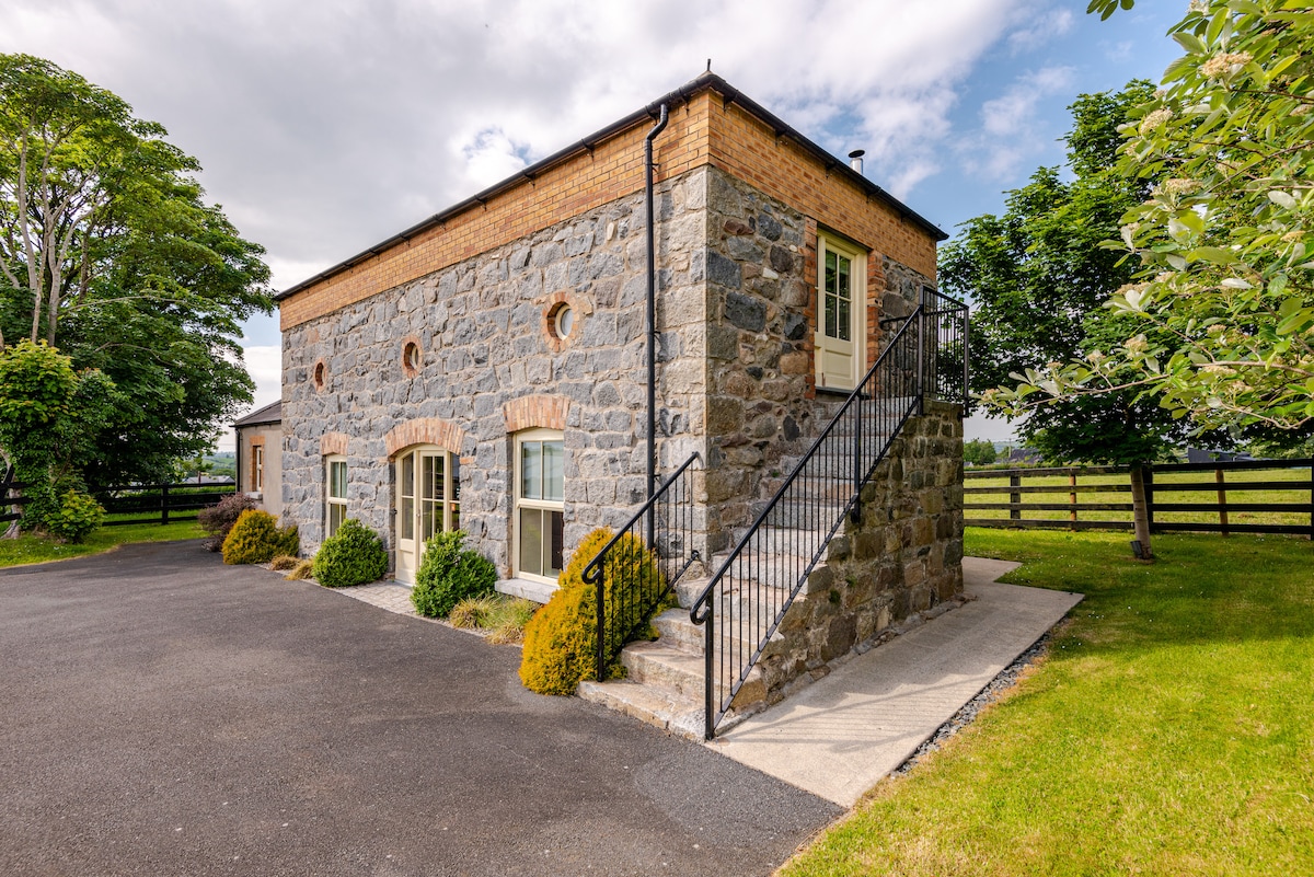 ENCLOSURE (destroyed) in CarnacavillENCLOSURE (destroyed) · 1328 yd
 CASTLE (destroyed) in Murlough UpperCASTLE (destroyed) · 1334 yd
 CROSS-CARVED STONE in CarnacavillCROSS-CARVED STONE · 1334 yd
 Newcastle Tourist Information CentreVisitor information · 1410 yd
 Wild Forest LaneWalking route · 1606 yd
 Tollymore Forest Park EntranceNature reserve · 1673 yd
 DrinnahillyMountain / peak · 1.1 mi