What is recorded here
Rathoscar is a circular earthen castle on a Kilkenny ridge, watching both the Goul and Rathlogan valleys from a break in the slope. Its bank still stands about three metres high around a twenty-nine-metre space, though the field has been reclaimed to its foot and no outer ditch remains visible. In 1839 the survey letters mentioned a ruined stone building inside, hinting that the ring once enclosed more than an empty military marker. It may have been a residence, a treasury, a refuge or a small lordly seat, but the land still shapes the answer: a place built to be seen, to overlook and to hold its ground.
On the end of a small ridge or knoll, at the break in slope between gently sloping valley sides and steep uplands, in rolling grassland. There are good views over the Goul and Rathlogan river valleys. A roughly circular area (int. diam. 29m) enclosed by an earthen bank (Wth 3m; int. H 1.2-1.5m; ext. H 3m). Field reclaimed up to foot of bank and there is no trace of an external fosse. The OS Letters (1839) noted the remains of a stone building (KK008-078002-) within the interior (O'Flanagan 1930, vol. 1, 146-7 (48)).
Compiled by: Jean Farrelly
Date of upload: 6 November 2017
Built by the O'Scanlans in the 12th century, Rath Oscar is strategically positioned to control the surrounding river valleys, making it significant for its defensive and overlook advantages.
This remains an important historical record, but the official description says the monument is no longer visible or has been destroyed. The monument record does not grant public access. Check the route and ask the landowner before entering private land.
- What survives
- No visible remains or recorded as destroyed
Places near here
 CastleCastle, unclassified · 10 yd
 Enclosure in RathoscarEnclosure · 501 yd
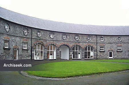 Enclosure in BallyspellanEnclosure · 681 yd
 farm housefarm house · 858 yd
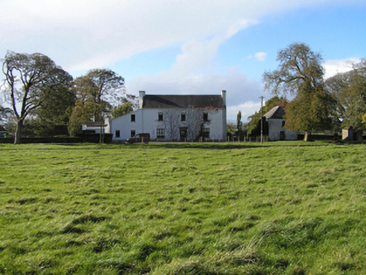 Ballyspellan Housefarm house · 1216 yd
 Street fieldArchaeological place · 1.2 mi
 Glashare CastleCastle, tower house · 1.3 mi
 DelaneyMemorial · 2.0 mi
 John HelyMemorial · 2.1 mi
 Clomantagh HillMountain / peak · 2.1 mi
 The CopseWood · 5.5 mi
 Anker's IslandIsland · 7.4 mi