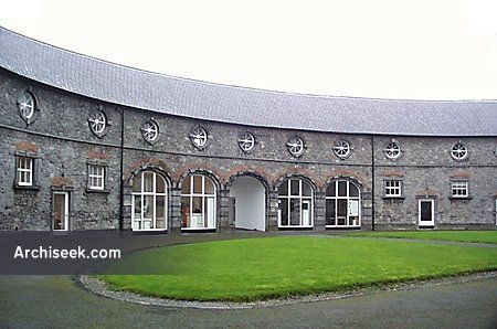
What is recorded here
At or just above transition from the gentle valley slope to steep uplands, in rolling grassland. Indicated as a circular enclosure (overall diam. c. 40m) on the 1st ed. OS 6-inch map (surveyed 1839). This enclosure is not visible at ground level. Another enclosure (KK008-079----), also levelled, is located c. 70m to the NNW.
Compiled by: Jean Farrelly
Date of upload: 6 November 2017
The monument record does not grant public access. Check the route and ask the landowner before entering private land.
- What survives
- Recorded monument
Places near here
 CastleCastle, unclassified · 685 yd
 Enclosure in RathoscarEnclosure · 762 yd
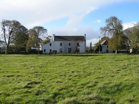 Ballyspellan Housefarm house · 1031 yd
 farm housefarm house · 1492 yd
 Enclosure in Ballycuddihy (galmoy By.))Enclosure · 1513 yd
 Street fieldArchaeological place · 1.6 mi
 Glashare CastleCastle, tower house · 1.7 mi
 Clomantagh HillMountain / peak · 1.7 mi
 DelaneyMemorial · 1.8 mi
 John HelyMemorial · 1.9 mi
 Kildrinagh WoodForest · 5.0 mi
 Anker's IslandIsland · 7.5 mi
Other information
Photo: Credit not shown in the picture search · Rights wording not checked; contact us if this picture should be removed