What is recorded here
Yes. Uncertainty is not a gap, it is a warning about the limits of every tool being used.
The official Northern Ireland record identifies this as RATH? OR LANDSCAPE FEATURE?. Recorded period: E.CHRIST.; UNCERTAIN; C18TH/C19TH. The official map point was placed at the centre of the recorded archaeological site from the source map reference.
The monument record does not grant public access. Check the route and ask the landowner before entering private land.
- What survives
- Recorded monument
Places near here
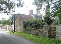 ENCLOSURE in Creggan UpperENCLOSURE · 1333 yd
 ENCLOSURE in DrumcrowENCLOSURE · 1.4 mi
 St. Teresa's ChurchChurch · 1.4 mi
 Lurgana HouseHouse · 1.7 mi
 Ballymoyer WoodWood · 1.8 mi
 POST-MED CHURCH; GRAVEYARD: BALLYMOYER OLD CHURCH or LISDROMAUDE in BallintemplePOST-MED CHURCH; GRAVEYARD: BALLYMOYER OLD CHURCH or LISDROMAUDE · 2.7 mi
 War MemorialMonument · 3.1 mi
 BessbrookVisitor information · 3.2 mi
 Drumilly MountainMountain / peak · 3.2 mi
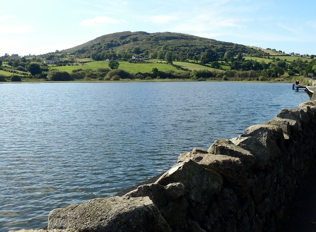 Sturgan MountainMountain / peak · 3.7 mi
 Canal WoodWood · 4.2 mi
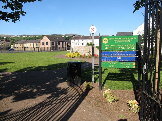 Edward Street Car ParkVisitor information · 5.6 mi