What is recorded here
Lisadearny in County Fermanagh still carries the name of a rath, though no wall or trench remains visible to judge the shape of its defense. The official record preserves only the label and a map point at the centre of the site, leaving the lived story absent. A rath is a boundary drawn around life, and boundaries invite imagination when their markers disappear.
The official Northern Ireland record identifies this as RATH: LISADEARNY. Recorded period: E.CHRIST.. The official map point was placed at the centre of the recorded archaeological site from the source map reference.
The monument record does not grant public access. Check the route and ask the landowner before entering private land.
- What survives
- Recorded monument
Places near here
 ENCLOSURE in CoolcrannelENCLOSURE · 810 yd
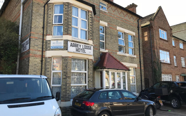 ENCLOSURE , possibly Rath, ABBEY (site of) & LIME KILN: ABBEY LODGE, LISDRUM in LisdrumENCLOSURE , possibly Rath, ABBEY (site of) & LIME KILN: ABBEY LODGE, LISDRUM · 1367 yd
 Carrowhony Pet FarmHeritage attraction · 1449 yd
 Christ ChurchChurch · 1750 yd
 Presbyterian ChurchChurch · 1.9 mi
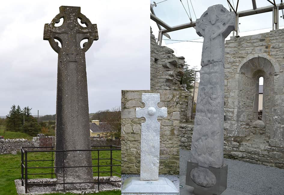 Celtic High CrossHeritage attraction · 2.0 mi
 CASTLE: CASTLE BALFOUR in Castle Balfour DemesneCASTLE: CASTLE BALFOUR · 2.1 mi
 Castle BalfourCastle · 2.1 mi
 Toners WoodWood · 3.1 mi
 Bunnahola IslandIsland · 3.3 mi
 Badge WoodWood · 3.5 mi
 Inishbeg HillMountain / peak · 3.8 mi