What is recorded here
The official Northern Ireland record identifies this as RATH. Recorded period: E.CHRIST.. The official map point was placed at the centre of the recorded archaeological site from the source map reference.
The monument record does not grant public access. Check the route and ask the landowner before entering private land.
- What survives
- Recorded monument
Places near here
 ENCLOSURE in FeddanENCLOSURE · 518 yd
 CHURCH: CILL MOR MAGH ENIR, MOYANNER (unlocated) in GrangeCHURCH: CILL MOR MAGH ENIR, MOYANNER (unlocated) · 776 yd
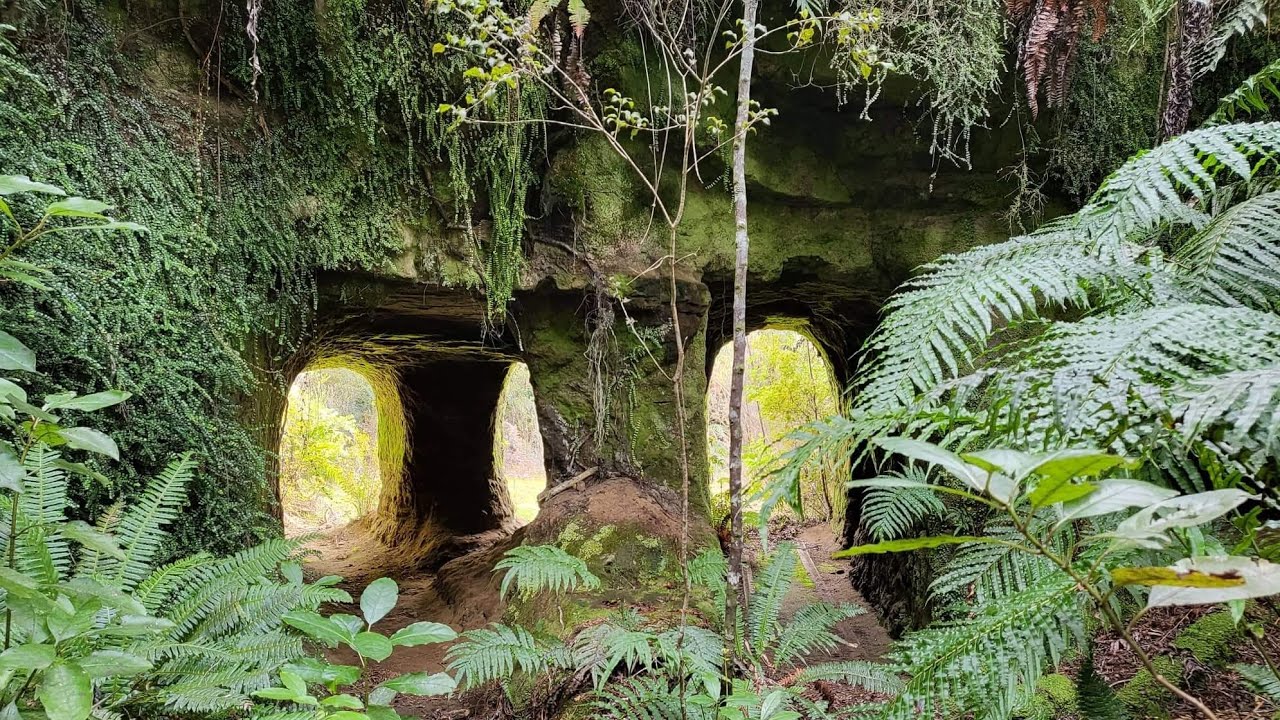 Multi-period enclosure and ring gully in FeddanMulti-period enclosure and ring gully · 872 yd
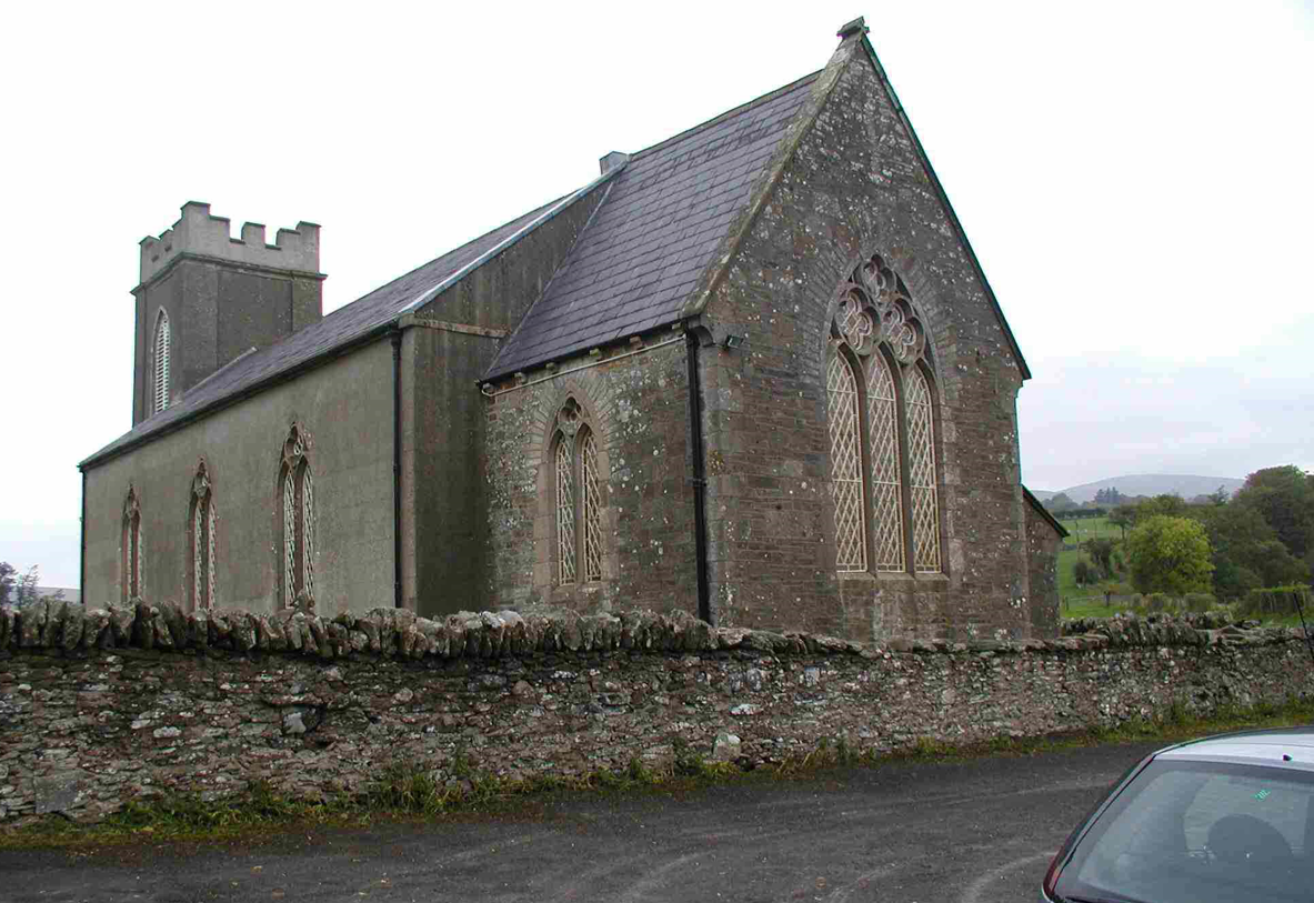 CHURCH (unlocated) in Cavey (possible); Richmond (possible)CHURCH (unlocated) · 928 yd
 FRANCISCAN FRIARY, ROUND TOWER, CHURCH, GRAVEYARD & 2 FONTS: BALLYNASAGGART in BallynasaggartFRANCISCAN FRIARY, ROUND TOWER, CHURCH, GRAVEYARD & 2 FONTS: BALLYNASAGGART · 1.2 mi
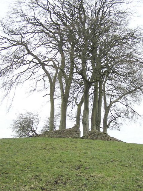 GRAVEYARD in GlenchuilGRAVEYARD · 1.7 mi
 Lismore WoodWood · 2.3 mi
 Planting LineForest · 2.8 mi
 RAVELLA CASTLE:HOUSE AND BAWN in RavellaRAVELLA CASTLE:HOUSE AND BAWN · 3.3 mi
 SlievemoreMountain / peak · 3.4 mi
 Carleton's CottageHeritage attraction · 4.3 mi
 SQUARE PLATFORMSQUARE PLATFORM, CASTLE? · 4.3 mi