What is recorded here
In County Fermanagh, a rath still marks the glebe, its earthworks preserving the shape of a settlement that predates Christian time. The boundary between sacred land and ordinary field may have been drawn around that fort, suggesting the community treated the rath as the heart of local life. People may have gathered there to mark seasons, settle disputes or remember ancestors, while the solid earth kept their choices safe from forgetting.
The official Northern Ireland record identifies this as RATH. Recorded period: E.CHRIST.. The official map point was placed at the centre of the recorded archaeological site from the source map reference.
The monument record does not grant public access. Check the route and ask the landowner before entering private land.
- What survives
- Recorded monument
Places near here
 HOLY WELL: TOBERAKILL in KiltoberHOLY WELL: TOBERAKILL · 741 yd
 ENCLOSURE in SandholesENCLOSURE · 1392 yd
 Saint Mary's Church (Drummully)church/chapel · 1.4 mi
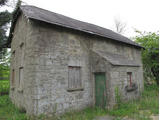 Orange HallOrange Hall · 1.5 mi
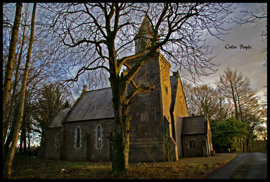 Quivvy WoodWood · 1.7 mi
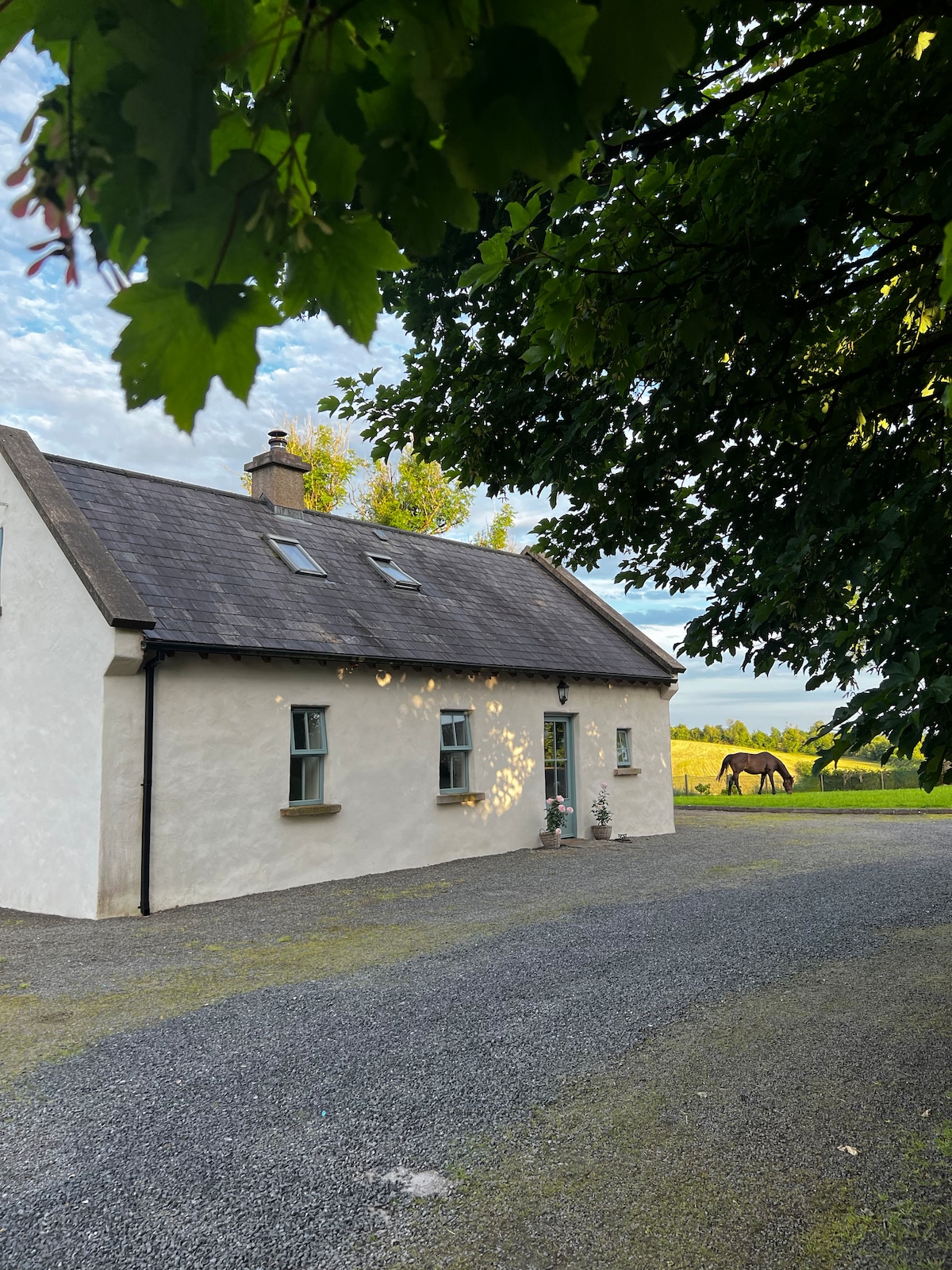 PLANTATION HOUSE & BAWN (unlocated) in LisnashillidaPLANTATION HOUSE & BAWN (unlocated) · 2.6 mi
 Drummoy Coraghaloo Derryhoo Bog WoodForest · 3.1 mi
 Crom Visitors CentreMuseum · 3.4 mi
 Bawn in KillyfanaBawn · 3.5 mi
 SandhillsMountain / peak · 3.5 mi
 InishfendraMountain / peak · 3.6 mi
 Crom Estate (National Trust)Heritage attraction · 3.7 mi