What is recorded here
Muggalnagrow still holds the buried line of a Rath, an ancient enclosure that shaped the land before modern borders drew their straight edges across County Fermanagh. The earth may have swallowed its stones and gates, but the name preserves the shape of human ambition: a boundary made visible, a life measured in seasons rather than years. What remains is not a ruin but a rhythm, the quiet certainty that people once stood there, marked the ground and believed the marker would outlast them.
The official Northern Ireland record identifies this as RATH. Recorded period: E.CHRIST.. The official map point was placed at the centre of the recorded archaeological site from the source map reference.
The monument record does not grant public access. Check the route and ask the landowner before entering private land.
- What survives
- Recorded monument
Places near here
 HOLY WELL: TOBERPATRICK in Glen WestHOLY WELL: TOBERPATRICK · 1.1 mi
 Bridge Over Roogagh RiverBridge · 1.7 mi
 Bilberry IslandIslet · 2.4 mi
 Sally IslandIslet · 2.5 mi
 HOLY WELL: TOBER NINNY in CallagheenHOLY WELL: TOBER NINNY · 2.8 mi
 Ross PointHeadland · 3.0 mi
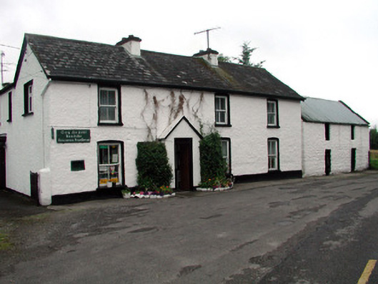 Rossinver Post Officehouse · 3.6 mi
 PLANTATION CASTLE: MAGHERAMEENAGH CASTLE in MagherameenaghPLANTATION CASTLE: MAGHERAMEENAGH CASTLE · 4.0 mi
 Belleek PotteryHeritage attraction · 4.1 mi
 Belleek Pottery MuseumMuseum · 4.2 mi
 Big DogMountain / peak · 4.3 mi
 Giant's GraveArchaeological place · 4.4 mi