What is recorded here
Moyglass still holds the buried line of a Rath, though no wall stands above the soil to mark it. The land may have worn the edge smooth, yet the shape of the place suggests a boundary drawn in human hands. To walk that field is to move through a room nobody built for cameras, where the dead kept their own address and the living forgot it.
The official Northern Ireland record identifies this as RATH. Recorded period: E.CHRIST.. The official map point was placed at the centre of the recorded archaeological site from the source map reference.
The monument record does not grant public access. Check the route and ask the landowner before entering private land.
- What survives
- Recorded monument
Places near here
 FORTIFIED HOUSE (unlocated) in DrumbooryFORTIFIED HOUSE (unlocated) · 749 yd
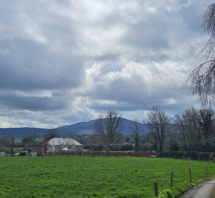 PLANTATION BAWN (unlocated) in MoyglassPLANTATION BAWN (unlocated) · 795 yd
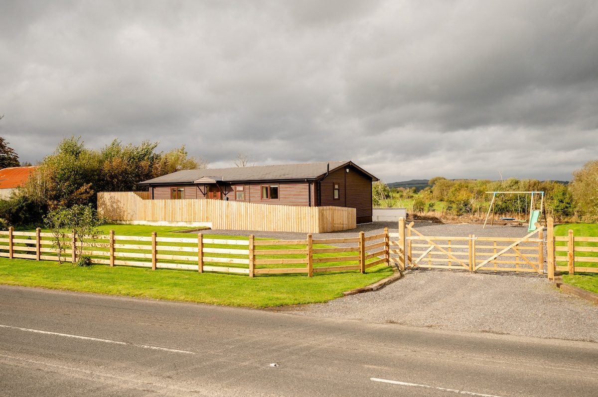 ENCLOSURE in CavanakeeryENCLOSURE · 1444 yd
 BURIAL GROUND/ ENCLOSURE in MagheradunbarBURIAL GROUND/ ENCLOSURE · 1536 yd
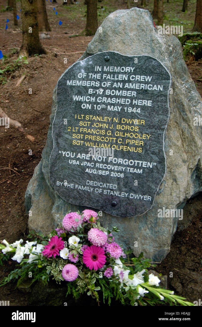 B17 Crash MemorialMonument · 1.2 mi
 Gate LodgeGates/ Screens/ Lodges · 2.0 mi
 Monea CastleHeritage attraction · 2.2 mi
 Trasna IslandIsland · 2.3 mi
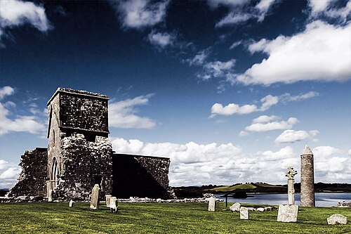 Devenish IslandIsland · 2.3 mi
 Rossorry ChurchChurch · 2.4 mi
 Car IslandIsland · 2.4 mi
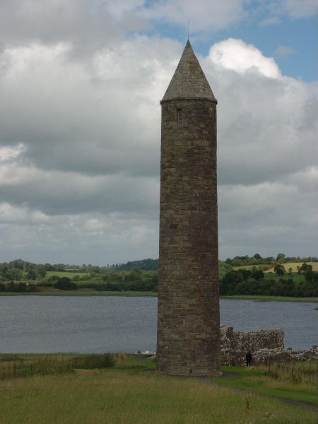 Devenish Island Round TowerViewpoint · 2.4 mi