What is recorded here
RATH in Moneenbane, County Fermanagh, is an ancient enclosed place where human hands shaped the land long before modern borders. It may have served as a home, a shelter or a marker of local identity, and that unknown purpose gives the site its quiet depth. The earth there still carries the weight of forgotten daily life, waiting for imagination to complete what fact leaves open.
The official Northern Ireland record identifies this as RATH. Recorded period: E.CHRIST.. The official map point was placed at the centre of the recorded archaeological site from the source map reference.
The monument record does not grant public access. Check the route and ask the landowner before entering private land.
- What survives
- Recorded monument
Places near here
 Giant's GraveArchaeological place · 1038 yd
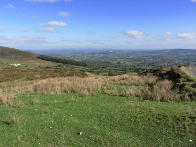 Gortalughany ViewpointViewpoint · 1109 yd
 Pollnagapple Natural ArchCliff · 1279 yd
 CarnArchaeological place · 1300 yd
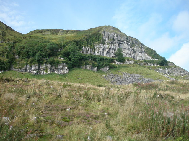 BenaughlinMountain / peak · 1553 yd
 ENCLOSURE in GreenanENCLOSURE · 1.0 mi
 Greenan RockMountain / peak · 1.0 mi
 Pigeon PotCave · 1.3 mi
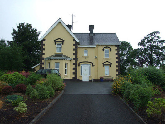 Swanlinbar Presbyterypresbytery/parochial/curate's house · 1.6 mi
 HawkswoodForest · 1.7 mi
 The First and Lasthouse · 1.9 mi
 Gubnafarna Cuilcagh Anierin Uplands Special Area of ConservationWood · 2.0 mi