
What is recorded here
From the Northern Ireland Sites and Monuments Record record TYR053:006
Places near here
Photo credits
- Maker not stated on source page, www.flickr.com
- Maker not stated on source page, commons.wikimedia.org
- Maker not stated on source page, www.businessinsider.com
- Maker not stated on source page, www.pinterest.com
- Rossographer, Wikimedia Commons · CC BY-SA 2.0
- Belfast Telegraph; individual photographer not named in accessible image details, www.belfasttelegraph.co.uk
- Kenneth Allen, Geograph · CC BY-SA 2.0
- Golfing in Ireland; photographer not stated, Source publisher
- Kenneth Allen / Geograph via Wikimedia Commons, commons.wikimedia.org
- Maker not stated on source page, www.tripadvisor.com.ph
- Kenneth Allen, Wikimedia Commons · CC BY-SA 2.0
 Mapped cemeteryCemetery · 1040 yd
Explorer Tom Another Mapped cemetery in County Tyrone has a secret talent for making your shadow look exactly like your worst enemy…
 Ornamental island in InishmaghOrnamental Island · 1.1 mi
Explorer Tom Ornamental island in Inishmagh was promised eternal youth by a local seer, but it’s aged like milk since then. It still…
 Ornamental island in LurgacullionOrnamental Island · 1.2 mi
Explorer Tom Ornamental island in Lurgacullion would complain to the council about the lack of proper landscaping and the fact that…
 C17th castle & bawn: ballygawley castle in BallygawleyC17th Castle & Bawn: Ballygawley Castle · 1.7 mi
Explorer Tom Ballygawley Castle is basically a fancy rabbit hutch that got stuck in time and never quite figured out the modern…
 Ballygawley Presbyterian ChurchChurch · 1.8 mi
Explorer Tom Ballygawley Presbyterian Church in County Tyrone would win a county fair by simply standing still and looking dignified…
St. Mary's Park, St. Mary's GAA, KilleeshilGAA ground · 2.6 mi Medieval Church & Graveyard: Aghaloo Church in RouskyMedieval Church & Graveyard: Aghaloo Church · 3.3 mi
Explorer Tom Aghaloo Church in Rousky is throwing a tantrum because the bishop refused to visit, claiming the acoustics were too…
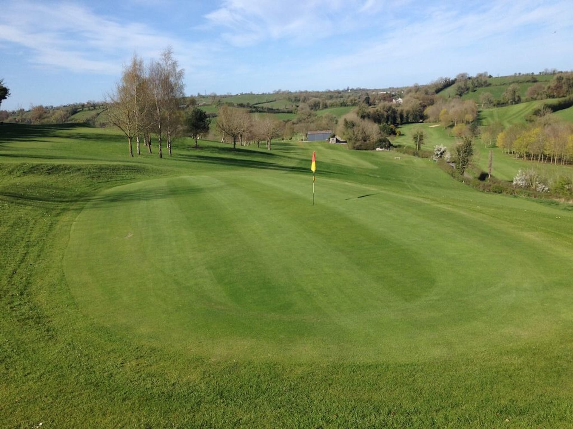 Aughnacloy Golf ClubGolf course · 3.6 mi
 Cardinal MacRory ParkGAA ground · 3.8 mi
 Favour Royal Forest Picnic SitePicnic place · 4.5 mi
Explorer Tom Favour Royal Forest Picnic Site gets picked on by the wind because it's just too comfortable to ignore. The breeze…
 Medieval Parish Church; Graveyard also Site of C13th Battle: Carnteel Church in CarnteelMedieval Parish Church · 4.5 mi
Explorer Tom Medieval Parish Church, Graveyard also Site of C13th Battle: Carnteel Church in Carnteel was saved by a hero so…
 Corn MillMill · 4.6 mi
Explorer Tom If this Corn Mill could talk, it would probably tell you it’s just a very large, very dusty toaster that never got the…
More archaeology and monuments in County Tyrone · All of County Tyrone

What do you know about this place?Tap to add a comment or ask a question