What is recorded here
Machugh is a small townland in County Armagh where a Rath still stands. The name Rath means a fortified place, and the land remembers that shape. People may have lived there, loved there, and forgotten the names of everyone who ever walked its fields.
The official Northern Ireland record identifies this as RATH. Recorded period: E.CHRIST.. The official map point was placed at the centre of the recorded archaeological site from the source map reference.
The monument record does not grant public access. Check the route and ask the landowner before entering private land.
- What survives
- Recorded monument
Places near here
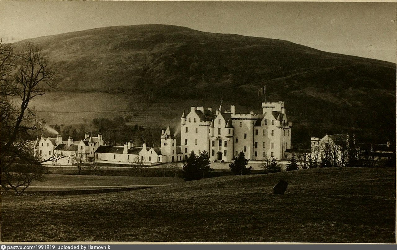 LARGE ENCLOSURE & ?Man-made underground passage: BLAIR'S CAVE in Kilmachugh; LisnagatLARGE ENCLOSURE & ?Man-made underground passage: BLAIR'S CAVE · 503 yd
 ENCLOSURE in LisnagatENCLOSURE · 984 yd
 First Presbyterian ChurchChurch · 2.0 mi
 Methodist ChurchChurch · 2.1 mi
 CASTLE: GOSFORD CASTLE in Gosford DemesneCASTLE: GOSFORD CASTLE · 2.6 mi
 Gosford Forest Park - Red TrailWalking route · 2.7 mi
 Gosford Forest ParkForest · 2.7 mi
 Gosford CastleCastle · 3.0 mi
 POST-MED CHURCH; GRAVEYARD: BALLYMOYER OLD CHURCH or LISDROMAUDE in BallintemplePOST-MED CHURCH; GRAVEYARD: BALLYMOYER OLD CHURCH or LISDROMAUDE · 3.7 mi
 Ballymoyer WoodWood · 3.7 mi
 CarrigatukeMountain / peak · 4.2 mi
 Fews ForestForest · 4.6 mi