What is recorded here
Killykeeran still holds the buried line of a fighting castle, its stones forgotten but its purpose plain. men built a defensible ring where the land allowed, then left the field to grass and rain. The name survives only because someone marked the point on a map, yet the shape suggests more: a household, a boundary dispute, a seasonal camp, or a small pride made visible. That much is absent, but the absence gives the place life.
The official Northern Ireland record identifies this as RATH. Recorded period: E.CHRIST.. The official map point was placed at the centre of the recorded archaeological site from the source map reference.
The monument record does not grant public access. Check the route and ask the landowner before entering private land.
- What survives
- Recorded monument
Places near here
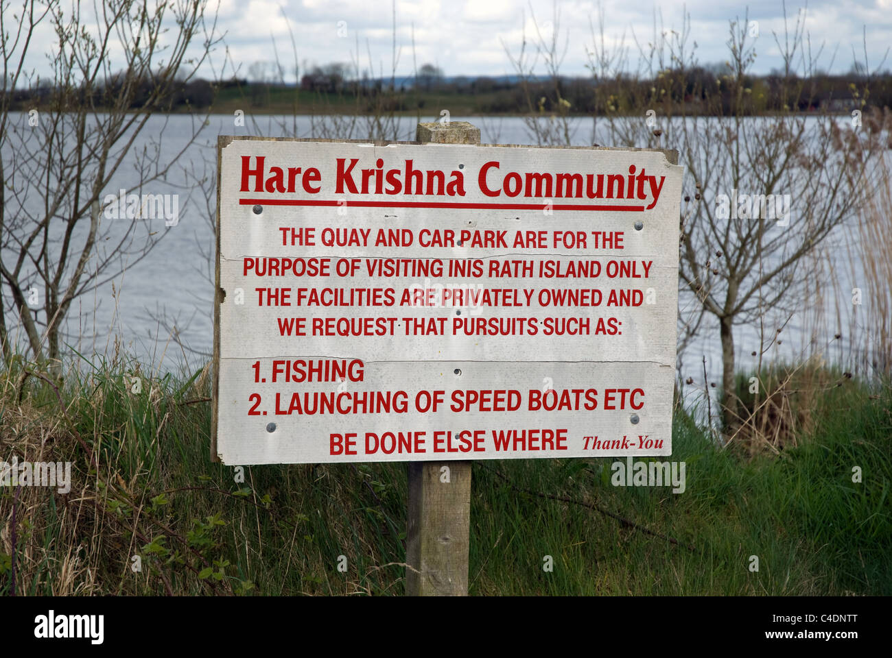 RathArchaeological place · 4 yd
 ENCLOSUREENCLOSURE, Bivallate Rath? · 1219 yd
 Goods ShedOutbuildings · 1.1 mi
 The Station House, BrookeboroughHeritage attraction · 1.1 mi
 Railway Station PlatformRailway Station Structures · 1.1 mi
 Leitrim WoodWood · 2.0 mi
 Mullaghnagee WoodForest · 3.0 mi
 Carrowhony Pet FarmHeritage attraction · 3.1 mi
 CASTLE: CASTLE BALFOUR in Castle Balfour DemesneCASTLE: CASTLE BALFOUR · 4.0 mi
 Castle BalfourCastle · 4.0 mi
 Cloghtogle MountainMountain / peak · 4.5 mi
 Topped MountainMountain / peak · 5.0 mi