What is recorded here
Great Deer Park still holds the buried line of a Rath, an earthworks circle built by human hands during the early Christian period. The land may have served as a boundary marker, a gathering place or a forgotten home, shaping the lives of those who walked its edge before the grass swallowed the stone.
The official Northern Ireland record identifies this as RATH. Recorded period: E.CHRIST.. The official map point was placed at the centre of the recorded archaeological site from the source map reference.
The monument record does not grant public access. Check the route and ask the landowner before entering private land.
- What survives
- Recorded monument
Places near here
 ENCLOSURE in Great Deer ParkENCLOSURE · 152 yd
 ENCLOSURE in Deer Park FarmsENCLOSURE · 985 yd
 Glenarm ForestForest · 1.1 mi
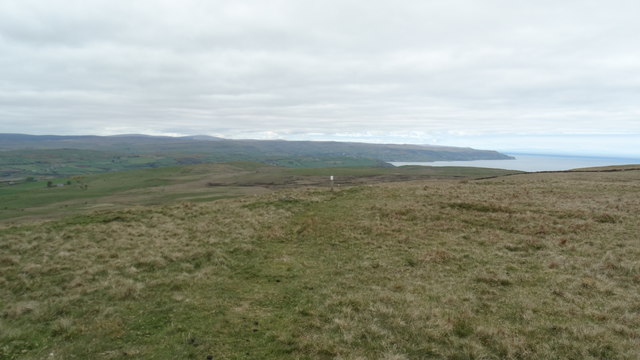 Black HillMountain / peak · 1.6 mi
 Ballygilbert HillMountain / peak · 1.7 mi
 Presbyterian ChurchChurch · 2.4 mi
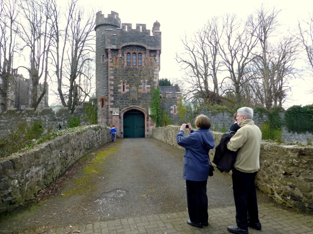 CASTLE (site of) in Town Parks (glenarm)CASTLE (site of) · 2.5 mi
 Glenarm CastleCastle · 2.5 mi
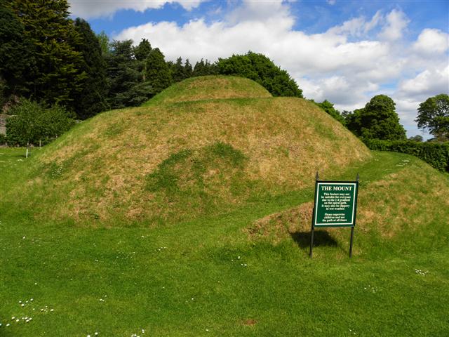 The MountViewpoint · 2.5 mi
 FRANCISCAN FRIARY & CHURCH (in ruins) in Cloney, GlenarmFRANCISCAN FRIARY & CHURCH (in ruins) · 2.6 mi
 Millennium MilepostVisitor information · 4.4 mi
 Ballygally CastleHeritage attraction · 4.7 mi