What is recorded here
RATH in Farnamullan, County Fermanagh, is a recorded archaeological site where human hands shaped the land before written memory began. The name Rath suggests a fort or defended place, yet no wall remains visible to argue the claim. Perhaps people gathered there to trade, pray or resist, then left only a slight rise in the grass. The land keeps what tongues forgot.
The official Northern Ireland record identifies this as RATH. Recorded period: E.CHRIST.. The official map point was placed at the centre of the recorded archaeological site from the source map reference.
The monument record does not grant public access. Check the route and ask the landowner before entering private land.
- What survives
- Recorded monument
Places near here
 St. Mary's Rc ChurchChurch · 1.1 mi
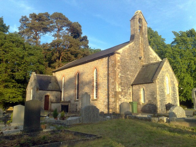 Derrybrusk Church (In ruins)Ruins · 1.1 mi
 ENCLOSURE in MullybrittENCLOSURE · 1.1 mi
 ENCLOSURE in DrumadENCLOSURE · 1.2 mi
 Toners WoodWood · 1.7 mi
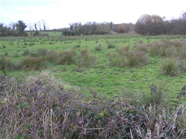 Knock IslandIsland · 2.0 mi
 Badge WoodWood · 2.1 mi
 Cleenish IslandIsland · 2.2 mi
 Inishbeg HillMountain / peak · 2.8 mi
 The Ice HouseHeritage attraction · 2.9 mi
 Castle CooleCountry House · 3.1 mi
 Cloghtogle MountainMountain / peak · 3.4 mi