What is recorded here
Drummal holds a Rath, an ancient earthwork where human hands shaped the Fermanagh landscape long before modern borders drew their lines. The soil remembers the weight of feet and the purpose of building, even if the names of its makers vanished into time. A Rath is not a passive mound but a made place, likely marking residence, defence or identity for the people who first transformed that land.
The official Northern Ireland record identifies this as RATH. Recorded period: E.CHRIST.. The official map point was placed at the centre of the recorded archaeological site from the source map reference.
The monument record does not grant public access. Check the route and ask the landowner before entering private land.
- What survives
- Recorded monument
Places near here
 St. Patrick's ChurchChurch · 502 yd
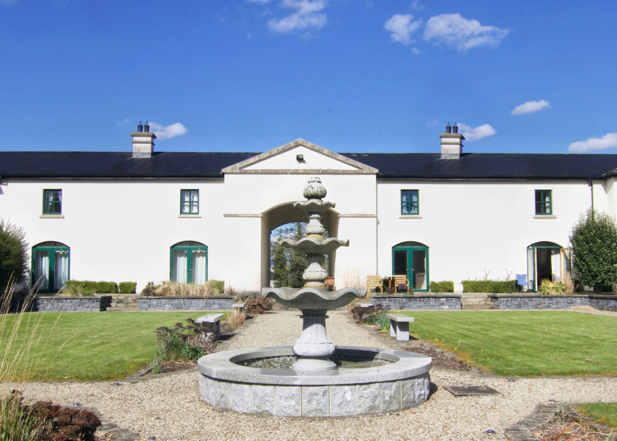 C17TH BAWN (unlocated) in DrumshaneC17TH BAWN (unlocated) · 1147 yd
 ENCLOSURE in BallymacataggartENCLOSURE · 1630 yd
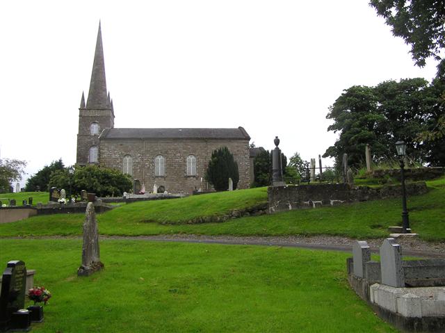 CHURCH (unlocated) in BallymacataggartCHURCH (unlocated) · 1.0 mi
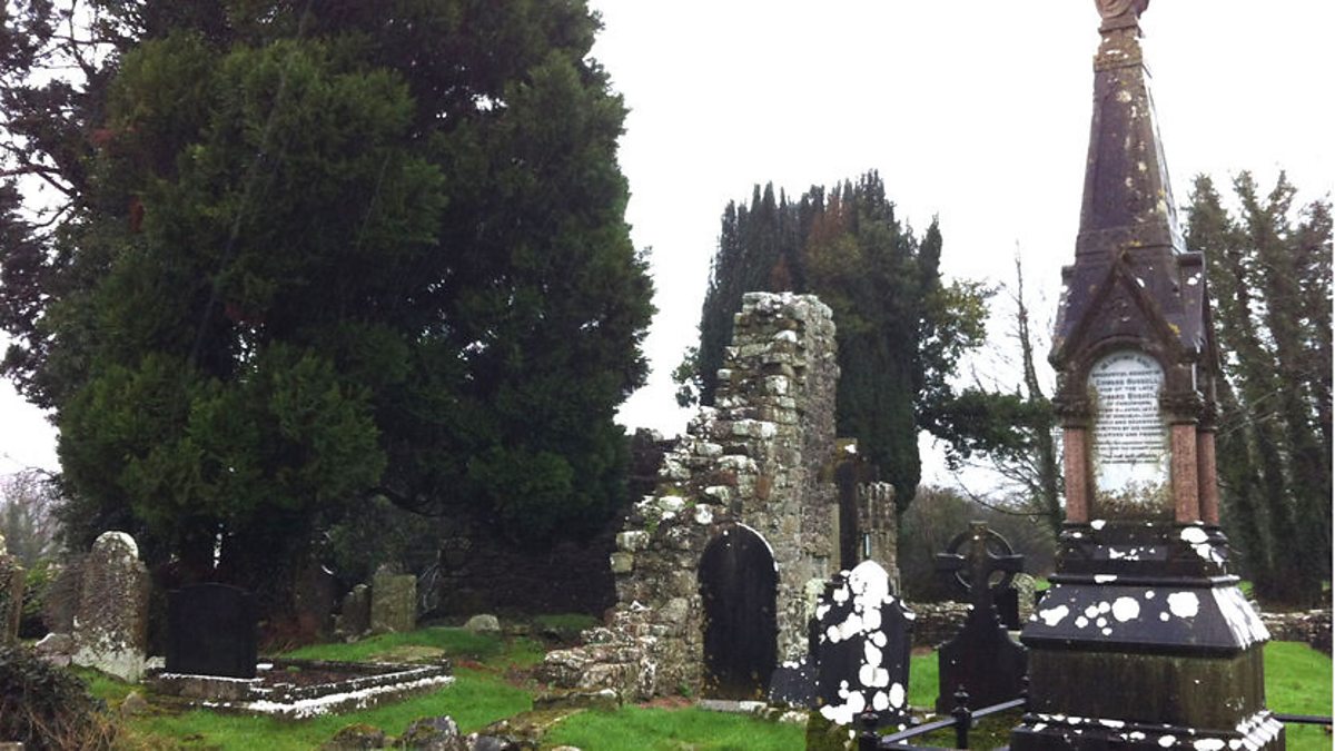 ENCLOSURE? in BunaninverENCLOSURE? · 1.2 mi
 WW2 components store (part of RAF Castle Archdale) in RossmoreWW2 components store (part of RAF Castle Archdale) · 1.2 mi
 Davy's IslandIsland · 1.5 mi
 Inish ConraIsland · 1.6 mi
 Cassidy WoodWood · 2.2 mi
 Drumsara WoodWood · 2.3 mi
 Crevenish CastleHeritage attraction · 3.4 mi
 Dooraa HillMountain / peak · 4.8 mi