What is recorded here
Drumbrughas North holds a Rath, an ancient earthwork that has watched the Fermanagh sky since before written memory. Its ridge still breaks the horizon, marking territory claimed by hands that never wrote their names down. The land remembers the shape of human ambition even when every other proof has rotted or scattered.
The official Northern Ireland record identifies this as RATH. Recorded period: E.CHRIST.. The official map point was placed at the centre of the recorded archaeological site from the source map reference.
The monument record does not grant public access. Check the route and ask the landowner before entering private land.
- What survives
- Recorded monument
Places near here
 Carrowhony Pet FarmHeritage attraction · 471 yd
 CIRCULAR ENCLOSURE in CornasheeCIRCULAR ENCLOSURE · 1.2 mi
 Presbyterian ChurchChurch · 1.2 mi
 CAIRN & ENCLOSURESCAIRN & ENCLOSURES, INAUGURATION SITE: MOTE · 1.2 mi
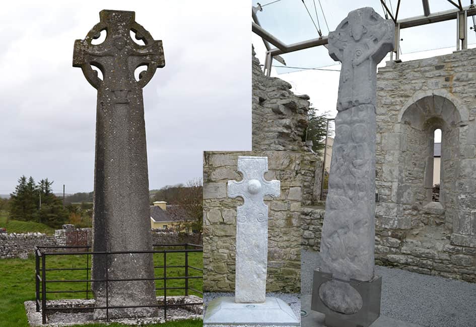 Celtic High CrossHeritage attraction · 1.3 mi
 Former Bank Of Ireland-Bank · 1.3 mi
 CASTLE: CASTLE BALFOUR in Castle Balfour DemesneCASTLE: CASTLE BALFOUR · 1.3 mi
 Castle BalfourCastle · 1.3 mi
 Bunnahola IslandIsland · 2.6 mi
 Rabbit IslandIsland · 2.8 mi
 Toners WoodWood · 3.0 mi
 Badge WoodWood · 3.3 mi