What is recorded here
Drumbrughas East holds a rath, an ancient earthwork whose boundary still marks the land in County Fermanagh. The name survives even when the shape fades, reminding that people built, defended or lived there before modern records.
The official Northern Ireland record identifies this as RATH. Recorded period: E.CHRIST.. The official map point was placed at the centre of the recorded archaeological site from the source map reference.
The monument record does not grant public access. Check the route and ask the landowner before entering private land.
- What survives
- Recorded monument
Places near here
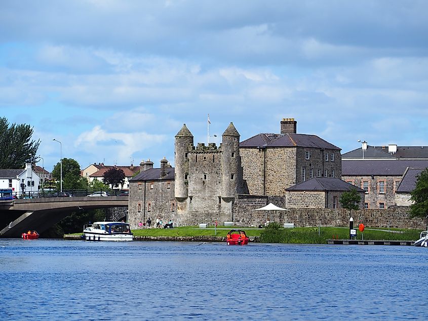 Small IslandIslet · 1.0 mi
 CASTLE (unlocated) in DoohatCASTLE (unlocated) · 1.1 mi
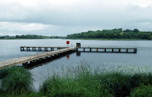 Galloon IslandIsland · 1.1 mi
 C17th HOUSE & BAWN: CASTLE BRINDSLEY (unlocated) in SheenyC17th HOUSE & BAWN: CASTLE BRINDSLEY (unlocated) · 1.4 mi
 ENCLOSURE in SandholesENCLOSURE · 1.4 mi
 Battle of Newtownbutlerbattle · 1.6 mi
 Culliagh WoodWood · 1.6 mi
 Crom Visitors CentreMuseum · 1.7 mi
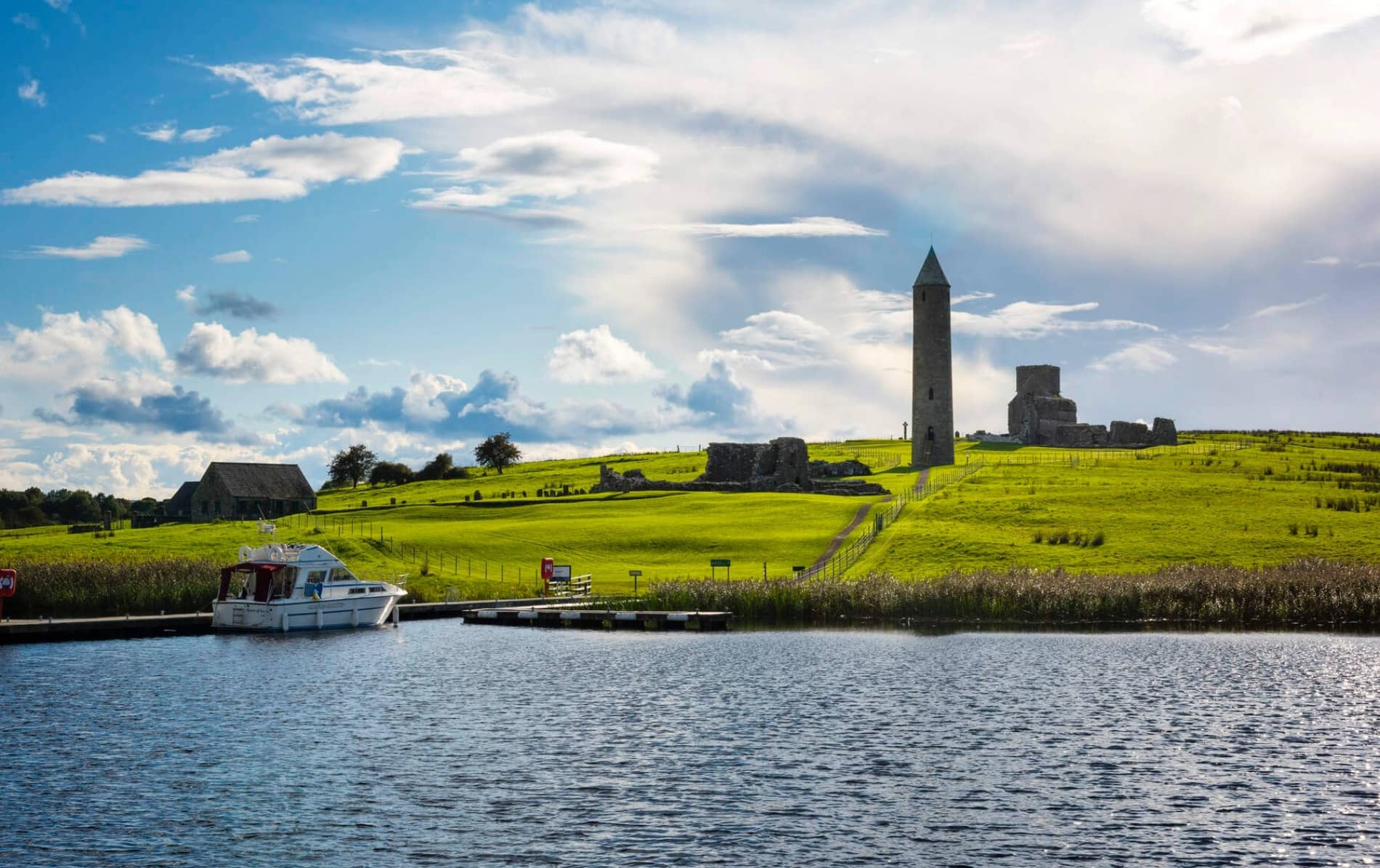 Inishfendra WoodWood · 1.7 mi
 Crom Estate (National Trust)Heritage attraction · 1.8 mi
 Estate Trail, CromWalking route · 1.9 mi
 InishfendraMountain / peak · 2.0 mi