
What is recorded here
The official Northern Ireland record identifies this as CASTLE (unlocated). Recorded period: POST-MED. The official map point was placed at the centre of the recorded archaeological site from the source map reference.
A local castle; wider significance not recorded.
The monument record does not grant public access. Check the route and ask the landowner before entering private land.
- What survives
- Recorded monument
Places near here
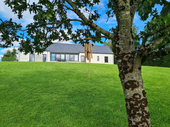 Knocknabrass WoodWood · 1278 yd
 Culliagh WoodWood · 1305 yd
 Crom Visitors CentreMuseum · 1605 yd
 MODERN ENCLOSURE in DerrymacrowMODERN ENCLOSURE · 1721 yd
 Crom Estate (National Trust)Heritage attraction · 1729 yd
 Estate Trail, CromWalking route · 1.0 mi
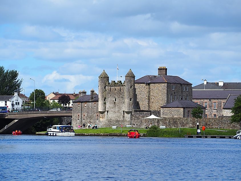 Small IslandIslet · 1.1 mi
 Old Crom Castle (Ruins)Castle · 1.2 mi
 Crom CastleCastle · 1.2 mi
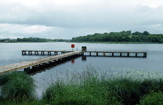 Galloon IslandIsland · 1.3 mi
 InishfendraMountain / peak · 1.3 mi
 Boat HouseBoat House · 1.3 mi
Other information
Photo: Credit not shown · All rights reserved