What is recorded here
RATH in Ballymaglave North, County Down, is an early Christian rath, a circular earthwork built to hold life, worship and memory before written records reached the place. Its grass edge may have risen only a little above the field, yet it marked the boundary between ordinary land and a world where prayer, feast and burial touched the same soil. The stones are gone or hidden now, but the shape remains: a room without walls, waiting for someone to walk its quiet circle and remember that people lived there before maps learned their name.
The official Northern Ireland record identifies this as RATH. Recorded period: E.CHRIST.. The official map point was placed at the centre of the recorded archaeological site from the source map reference.
The monument record does not grant public access. Check the route and ask the landowner before entering private land.
- What survives
- Recorded monument
Places near here
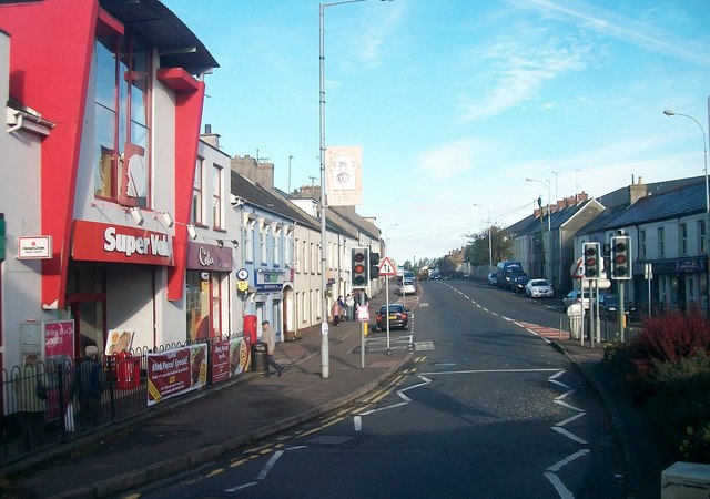 Lisburn Street South Car ParkVisitor information · 915 yd
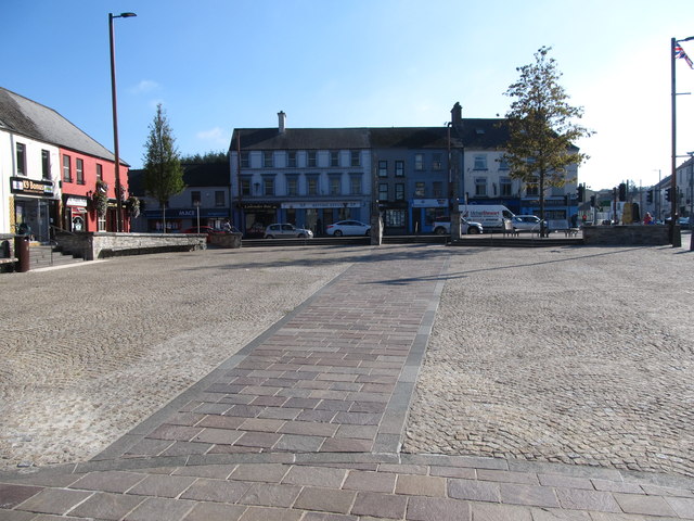 Market DayVisitor information · 963 yd
 First Presbyterian ChurchChurch · 1174 yd
 Windmill HillMountain / peak · 1463 yd
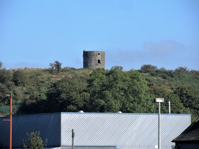 WINDMILL STUMPWINDMILL STUMP, IHR 03039 · 1464 yd
 Corn MillMill · 1507 yd
 Windmill Hill WoodWood · 1528 yd
 Battle of Ballynahinchbattle · 1.1 mi
 ENCLOSURE in Ballymacarn NorthENCLOSURE · 1.4 mi
 FORTIFICATION: McCARTAN'S CASTLE (unlocated) in MagheratimpanyFORTIFICATION: McCARTAN'S CASTLE (unlocated) · 2.4 mi
 Glen LoaninWalking route · 3.1 mi
 Darby's LoaninWalking route · 3.6 mi